- Itinerary: The Coastal Way
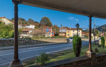
- Route: Muros de Nalón - El Pito - Rellayo - Arroyo Concha de Artedo - Soto de Luiña
- Distance: 15.2 Kms
- Layout of the route: Download kml


Stage 8: Muros de Nalón - Soto de Luiña 15.2 Kms
From Muros de Nalón, crossing the railway tracks, the route descends towards the Santa Olaya stream and reaches the banks of the Aguilar river until it meets the road that leads to El Pito and from there to the right to Balandres. The route continues through El Manto, Las Dueñas, El Rellayo... towards the fertile plain of the river Uncín via La Magdalena on a steep slope.
After crossing the bridge, the ascent begins towards El Ribete, La Cebedal and Campo Cima to descend towards the valley of the river Esqueiro and Soto de Luiña, where the hostel is located.
"The Pilgrims' Hospital of El Rosario had a hospitalera (it was stipulated that the position should be held by a widowed or single woman without children) who attended to the travellers with water, bread, salt and hot broth. It is known (thanks to the Sacramental Books of the Dead) that foreigners such as Juan de Francia in 1656, the Piedmontese Andino Bucio in 1722 or the Frenchman from Nancy called Martín Pettit Jean Perpeau-de la Dit in 1763 were already making pilgrimages".