
- Vegadeo Western Asturias
- Distance: 9 kms
- Difficulty: Short
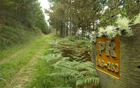
- Code: PR263
- Altitude: 359
- Unevenness: 177
- On foot: 2 h. 30 min.
- Geographic situation: Western Asturias
- Start point: A Spy
- Tour type: Circular
- Layout of the route: Download kml, Download gpx
PR263

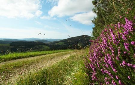
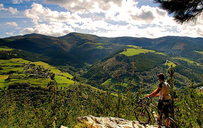
This circular route takes us through a mosaic of rural landscapes that range from wide pastures, where Asturian beef cows alternate with dairy cows, to valleys that surround the hill that we circle.
In the distance we can contemplate the villages that inhabit them and the birds of prey that soar through the skies in these open landscapes.
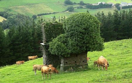
But our route also takes us through the interior of pine and eucalyptus plantations, and also through the thickets of native mixed forests of carob and chestnut trees.
But the route would not live up to its name if we did not find the remains of some of the mines that existed in the past.
In this area, human beings left their mark in search of iron ore, which can be seen in the remains of the mines scattered throughout the territory. Some twenty of these mines have left their mark on the area.
A Espía/Espina - A Espía/Espina 9
A few kilometres from A Veiga/Vegadeo, on the road to Taramundi, we find A Espía, the village where we begin and end this route.
After 600 metres, we come out onto the forest track to the left and continue along it, as this is the path that goes around the hill in an upward direction, until we reach kilometre 3.5, where we start the descent.
At kilometre 5, we come across another track on the right, but we continue our way along the one on the left, going upwards, until kilometre 6.6, where another path joins ours, but we continue ahead. Here we begin a slight descent with small steep slopes.
About 400 metres further on, we see a turning to the left, which we ignore. At kilometre 7.9 we come to another turning to the left, which takes us to a hut, but we ignore it, and 200 metres further on we come to another crossroads, where we take the path to the left.
A little further on, the dirt track disappears and we continue along an asphalted road that will take us back to the starting point in just 800 metres.