
- Case Asturias Centre
- Distance: 10,6 kms
- Difficulty: Short
- Code: PR66
-
On foot:
6 h. 30 min.
Round trip
- Start point: Bezanes
- Tour type: One way
- Layout of the route: Download kml, Download gpx
PR66

Brañagallones means "braña de los gallones" (the roosters or capercaillies), which once had up to six roosts in the surrounding area (places for displaying the males during breeding). It is a place of Fauna with a capital letter, large beech forests with blueberry trees, a quiet, peaceful place to enjoy nature.
If we go back in time, our imagination can see the glacier that occupied it and later left a glacial lake there, similar to that of Ubales, whose location can be seen from the route.
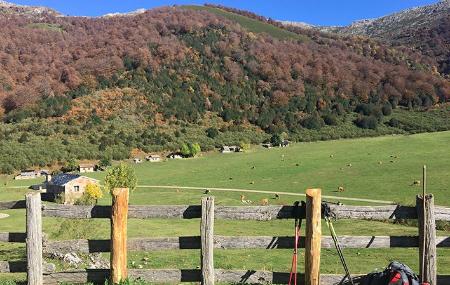
A vega in which many families lived off the cattle that grazed there, and for whom an obituary was the list of things they needed to be sent from home, written on a slab of wood taken from one of the pieces they worked to make into "madreñas".
In part, a traditional route along which donkeys loaded with ten milkmaids used to go down to Bezanes every day in a system of organisation by shifts of families called "interius". A route where you can sleep in one of the best refuges in Spain for mountain hiking in the surrounding area, or just go up and down.
Bezanes - Vega de Brañagallones 10,6
This beautiful route starts in the village of Bezanes, on the banks of the river Nalón. It is a winding path, always ascending in a southerly direction, which ends at the Brañagallones meadow. Cross the village and take a path on the left that zigzags up the hillside.
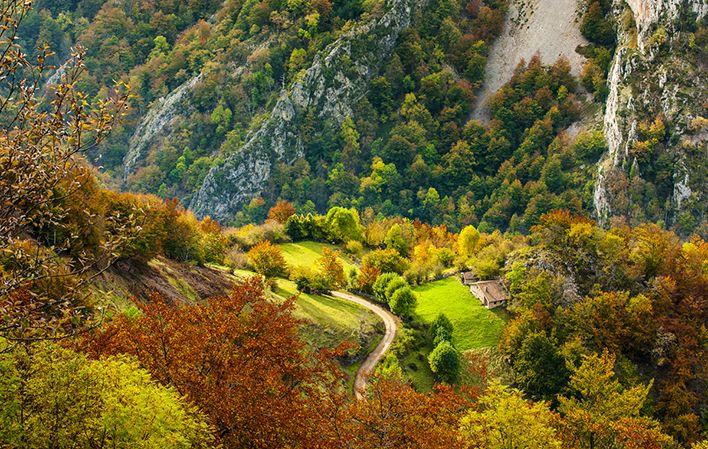
After the first two kilometres, we find the Texu la Oración viewpoint on our left, from where we have wonderful views of Bezanes, the Nalón basin and the Cascayón peak.
Half a kilometre further on we can see the Cantu del Oso in the background, to the south, which rises imposingly above Brañagallones, and three hundred metres further on we can see on our left several beehives on a rock formation.
Having reached kilometre 6.5, if we look down we can see the impressive landscape of the Monasterio river valley.
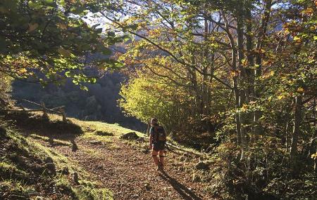
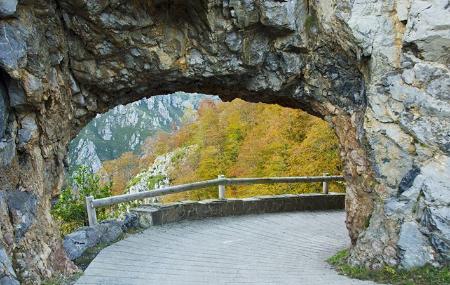
After another two kilometres, we cross the Crestón tunnel, and half a kilometre further on, we leave the cobbled path on the hillside to enter fully into one of the spectacular forests of the Redes Natural Park.
After 10.200 kilometres, we reach the Brañagallones valley, bringing this beautiful route with its spectacular views to an end.