
- Quirós Asturias Centre
- Distance: 12,4 kms
- Difficulty: Half
- Altitude: 931
- Unevenness: 616
-
On foot:
6 h.
Round trip
- Start point: Ḷḷindes
- Tour type: One way
- Layout of the route: Download kml, Download gpx

Puerto de Agüeria is known for possibly being one of the places on the Peninsula with the greatest number of holly trees. This endangered species finds refuge here, between Peña Rueda to the north and the Ubiñas to the south.
To climb up to Puerto de Agüeria is to follow the centuries-old tradition, perhaps millenary, of taking the cattle to the mountains (passes) during the summer to take advantage of the pastures of these high areas, while in the valleys they cured the grass to fill the haystacks for the winter.
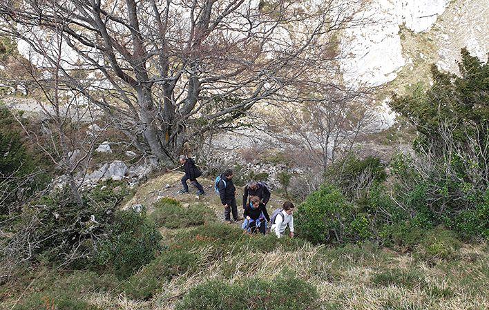
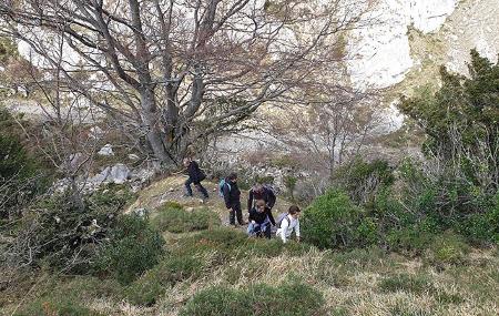
As we leave Ḷḷindes, expanses of forest are lost before our eyes, but this does not last long, as we soon become immersed in them, losing their perspective and making good the saying that the trees do not let us see the forest.
We enjoy this orchard in continuous ascending and descending slopes, the lesser ones, until the forests give way to the river and large cliffs with impressive cliffs that rise before us.
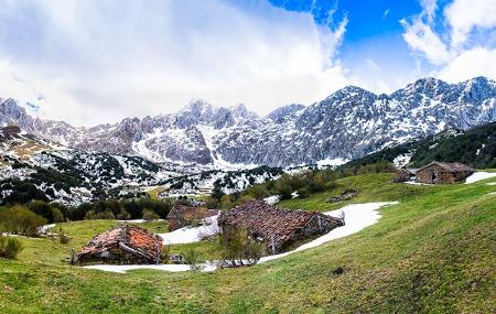
All this to safeguard the jewel, the Puerto de Agüeria, where the stream crosses the green and fertile meadows, framed by the holly trees that cover the slopes and under the watchful eye of the surrounding mountains.
Ḷḷindes - Port of Agüeria 12,4
We start this route in the village of Ḷḷindes, where we can leave our car in the car park and where we will find the signs marking the route to the Puerto de Agüeria, so all we have to do is follow the signposted path.
After 1.3 kilometres, the path, which becomes steeper and steeper, enters a beautiful beech forest. The gradient becomes steeper and steeper.
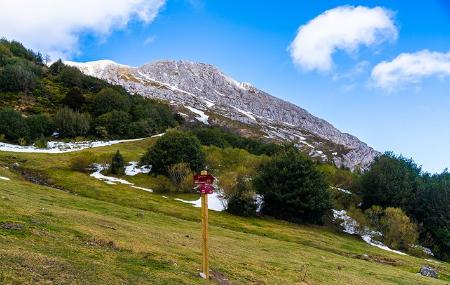
When we have walked about 2 kilometres from the start of the route, we reach the area known as the Colláu, from where we can see the Foiz Grande; half a kilometre further on, there is a turn-off to the right, which would take us to Peña Rueda, but we continue straight on.
Once we have left the Colláu behind, we find ourselves in the impressive Foiz Grande, where we continue on our way between two peaks, Peña Rueda and Peña Arpín. We must cross the river at kilometre 3 and cross it again when we reach the next kilometre.
At kilometre 5, leaving the Foiz Grande behind, we reach an area of meadows surrounded by impressive mountains; without a doubt, we are already at the Puerto de Agüeria, the end point of our route, an area of incomparable beauty that offers us beautiful views of the Ubiñas massif.
Once we have enjoyed the scenery, all that remains is to return to Ḷḷindes by the same route, but in the opposite direction.