
- Lena Asturias Centre
- Distance: 9,2 kms
- Difficulty: Short
- Code: PR89
- Unevenness: 815
-
On foot:
3 h.
Only one way
- Start point: Tuiza Riba
- Tour type: One way
- Layout of the route: Download kml, Download gpx
PR89

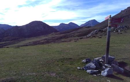
Passing through the visu and the portilla, we discover the Xomezana valley, carved by the river and where forests of oak, birch and beech trees, as well as stands of holly trees, cover the steep slopes, interrupted by the pastures that dot this landscape that opens up towards the Huerna valley, the exit point from Asturias to the Meseta.
In a varied terrain, the slate dominates the lower part of the valley and in the upper part gives way to limestone, where we can find caves, sinkholes, chasms...
The proximity of Ubiña also brings us closer to the karst. Wolves and wild boars dominate the vertebrate fauna, and it is not unusual to find vultures all year round or Egyptian vultures in summer.
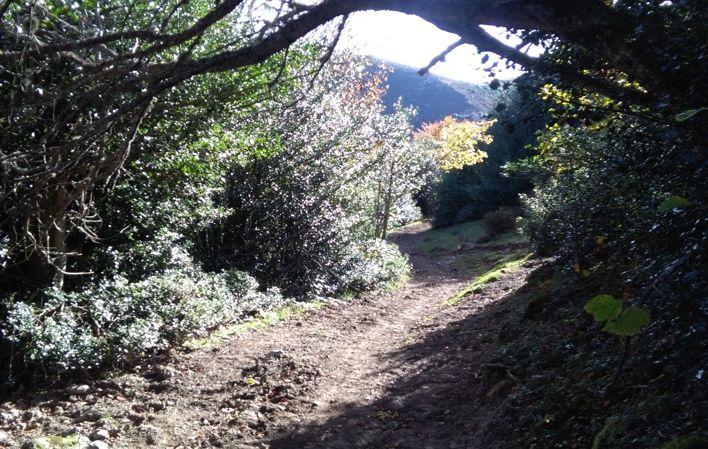
A comfortable track most of the way to enjoy the incredible scenery.
Tuiza Riba - Xomezana Riba 9,2
We start the route in the village of Tuíza Riba, located at an altitude of 1,215 metres, which is accessed by the LE-8 road. At the entrance we find a car park, where we can leave our car; then we turn right to take the track that will lead us to Xomezana Riba. The majority of the route is a fairly comfortable track to enjoy this incredible landscape.
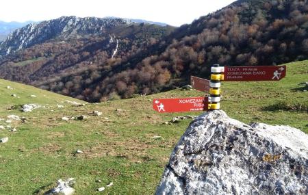
A few metres after the start of the route, we come across successive crossroads, which we ignore, and continue straight on without turning off. The first stretch is uphill and the second downhill.
After 7.5 kilometres, the track joins a road, which a few metres further on leads to the PR-89 path, where we take the branch to the right and continue straight on.
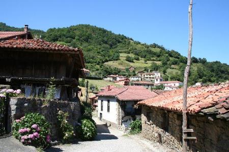
When we have walked 9 kilometres from the start of the route, almost reaching the end of the route, there is a turning to the right, but we continue along the path, which a few metres further on takes us to the village of Xomezana Riba. If we continue down the LE-9 road, we can also visit the villages of Xomezana Baxo and Espineo.