Zurück Die Route der Aussichtspunkte am Fluss Navia: Traumlandschaften
Die Route der Aussichtspunkte am Fluss Navia: Traumlandschaften
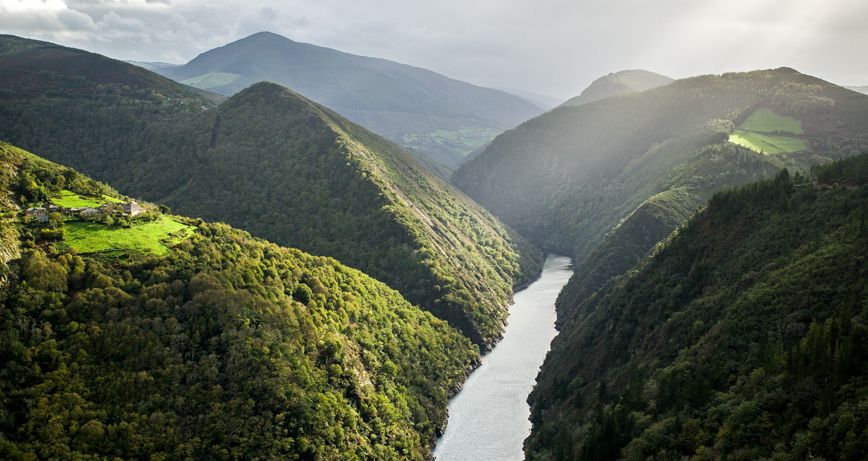
Die Route der Aussichtspunkte des Navia-Flusses führt durch Ecken und Landschaften, die die Seele des westlichen Asturiens widerspiegeln.
Der Westen Asturiens ist reich an Möglichkeiten, seine schönen Ecken und Landschaften zu erkunden. Die Ruta de los Miradores del Río Navia in Boal führt durch mehrere halb verlassene Bergdörfer, einen Stausee zur Erzeugung von Wasserkraft, alte Gebäude dieser Anlagen und spektakuläre Ausblicke auf den Fluss Navia.
Die Ruta Viesgo de Los Miradores del Navia (PR-AS 299), so lautet ihr vollständiger Name, wurde von der Elektrizitätsgesellschaft Viesgo und der Sociedad de Amigos de Boal angelegt. Letztere hat die Wander- und Fahrradroute entworfen, und die Sociedad de Amigos de Boal hat aufgrund ihrer historischen Verbundenheit mit diesem Gebiet im Westen Asturiens ihre finanzielle Unterstützung angeboten.
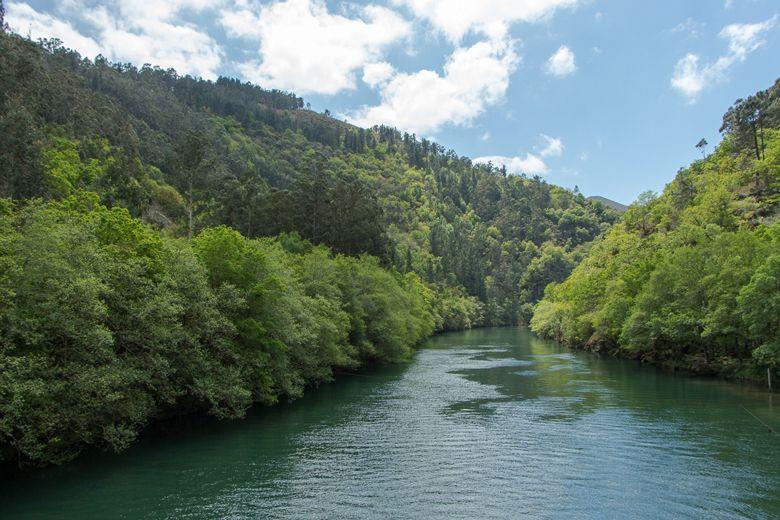
Das Gebiet, das wir auf dieser Route durchqueren, besteht abwechselnd aus Buschland, kleinen Dörfern und den Überresten ländlicher Siedlungen, wobei wir alle paar Minuten den Fluss Navia sehen können, der sich durch die Berge schlängelt.
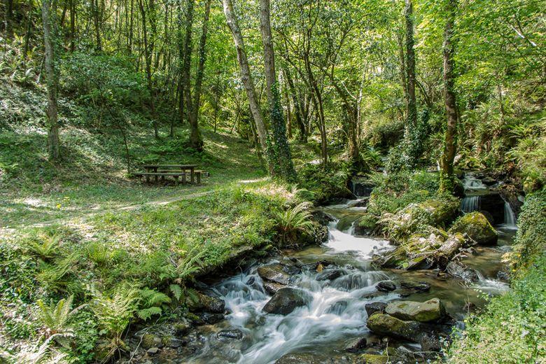
Das Erholungsgebiet "Puente de Castriyón" am Fuße des Anstiegs zu diesem Dorf ist der Ausgangspunkt und der Parkplatz. Da es sich um einen Rundweg handelt, kann er in beide Richtungen begangen werden. Es wird jedoch empfohlen, von der Brückenseite gegenüber dem Picknickplatz zu starten, wie auf dem Informationsschild beschrieben.
Um Ihnen zu zeigen, wie der Weg in umgekehrter Richtung aussieht, habe ich ihn von der Seite des Picknickplatzes aus begonnen.
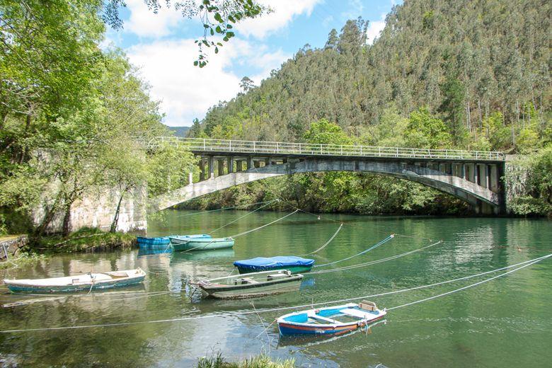
Vorbei an der kleinen Anlegestelle gelangen Sie zu einem schattigen Plätzchen, wo mehrere Bänke und Tische rund um den Rio de Roxios oder Rio Roginos mit ihrer guten Lage dazu verleiten, den Aufstieg nicht anzutreten.
Ignorieren Sie diese Sirenengesänge und steigen Sie langsam den Hügel hinauf. Sie lassen einen Panoramablick auf den Fluss Navia und die Brücke, die ihn überquert, hinter sich, und selbst zwischen den Erlen, Eichen und Haselnussbäumen können Sie die weißen Häuser des Dorfes Castriyón erkennen. Das Rauschen, das Sie nach einer Weile hören werden, ist das des Flusses selbst, der im Erholungsgebiet endet (und dem Sie sich nach dem ersten Stück des Anstiegs über eine kleine Brücke nähern können, auch wenn es eine Abweichung von der Route ist und Sie Ihre Schritte zurückgehen müssen).
Dieser steile Anstieg mit einer Steigung von 300 Metern ist nur einer von zwei relativ schweren Anstiegen, die Sie auf dieser Strecke bewältigen müssen. Der Weg endet in der Ortschaft Piñera, wo Ihre Füße für eine Weile wieder den Asphalt berühren.
Aber nicht zu lange. Wenn Sie das Dorf durchqueren, kommen Sie wieder in eine bergige Gegend, obwohl die Straße für Traktoren und Geländewagen geeignet ist. Der Grund dafür ist, dass es sich um die Zufahrt zu einer Feuerschneise handelt, einem dieser notwendigen "Hachazos" für einen Berg, um dessen Sicherheit im Falle eines Brandes zu gewährleisten.
Wir kehren auf den Asphalt zurück und stehen nach einigen Kurven vor dem verlassenen Verdín-Palast aus dem 18. Jahrhundert, obwohl wir den Innenhof und die umliegenden Gebäude sehen können.
Die Straße führt weiter in Richtung Doiras. Die Häuser liegen an einem sanften Berghang, und es ist einer der wenigen Orte auf dem Land (der letzte war Piñera), die wir bisher gesehen haben. Wir folgen der Straße, bis wir an einer Kreuzung abbiegen und zur Schule und weiter zur Residenz der Ingenieure und Direktoren von Viesgo hinunterfahren.
An dieser Stelle biegen wir rechts ab und nähern uns zwei Gebäuden, die ebenfalls zu Viesgo gehören, aber für andere Mitarbeiter bestimmt sind. Gehen Sie nicht die Straße hinunter, da sie keinen Ausgang hat, sondern folgen Sie den Gebäuden bis zum Ende, wo es aussieht, als gäbe es nur noch Berge. Dort geht der Weg jedoch weiter.
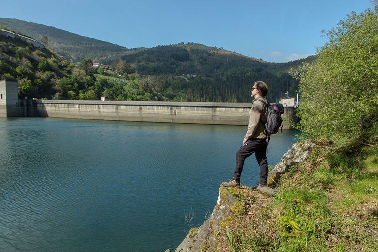
Die Macchia und die Natur machen Platz für Mensch und Technik. Wir stoßen auf das Doiras-Wasserkraftwerk, das 1934 eingeweiht wurde und etwa 324 GWh pro Jahr produziert.
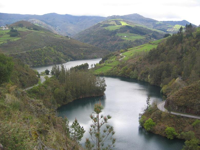
Es ist wichtig, von einem der Betonbalkone über das Tal zu blicken und zu versuchen, sich eine Vorstellung von der Wassermenge hinter uns zu machen. 119 hm3 sind nur eine Zahl, aber wenn man sich auf die andere Seite wendet und sich der Brüstung nähert, wird einem klar, wie viel sie bedeckt.
Danach gehen wir weiter auf der Straße, lassen den Blick auf den Stausee und den Fluss rechts liegen, um sie kurz darauf zu verlassen und die Wiese hinaufzusteigen (Mut! Es ist der zweite und letzte steile Anstieg), zwischen Feldern, die nur von Kühen und gelegentlich einem Pferd bevölkert sind.
Auf diese Weise erreicht man Silvón, wo man von der kleinen, dem Heiligen Juan geweihten Kapelle empfangen wird. Das Dorf ist leicht zu durchqueren, und am Ende des Dorfes finden Sie auf der rechten Seite eine Möglichkeit, Ihre Flaschen oder Feldflaschen an einer Quelle mit frischem Wasser aus den Bergen aufzufüllen, die von der Gesellschaft der Freunde von Boal unterhalten wird.
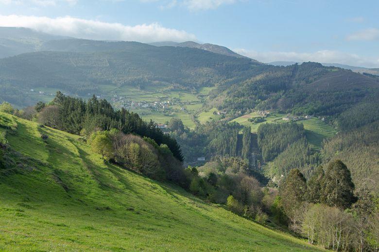
Wir haben nun die Seite gewechselt, und der Fluss Navia schlängelt sich zu unserer Linken, obwohl er aus dem Blickfeld verschwindet, wenn wir uns El Rebollal nähern, das kaum mehr als ein Bauernhof und ein Viehzuchtbetrieb ist, dessen kleine Gebäude aus Stein und schwarzem Schiefer jedoch von ethnografischem Interesse sind.
Gegen Ende der Route geht es bergab, und es bieten sich immer mehr Gelegenheiten, die Aussicht auf den Fluss und die hohen Berge, die ihn beschatten, zu genießen. Bald sehen wir die Brücke von Castriyón, und wir wissen, dass die Route zu Ende gegangen ist.
An diesem Punkt verstehe ich, warum empfohlen wird, den Weg andersherum zu gehen, als ich es getan habe. Die Bänke des Erholungsgebietes, das Plätschern des Wassers, der ersehnte Schatten, sind Sirenengesänge, denen ich eine Weile verfalle, denn wer hat es schon eilig, einen solchen Ort zu verlassen?
Entfernung: 11,3 km
Zeit: 4,5 Stunden.
Schwierigkeitsgrad: Leicht
Startpunkt: Google Maps
Weitere Informationen: Boal Town Hall
Wikiloc: Routenplan
Abonnieren Sie unseren Newsletter und profitieren Sie von Neuigkeiten, Rabatten und Neuigkeiten
Abonnieren

