Back The Cordal de Coaña route: exploring the charms of a millenary council
The Cordal de Coaña route: exploring the charms of a millenary council
The Cordal de Coaña route runs through a large part of the interior of the council of Coaña, a territory closely linked to Celtic culture. It is a not very busy and easy route.
The Cordal de Coaña route runs through a large part of the interior of the council of Coaña, a territory closely linked to its Celtic past.
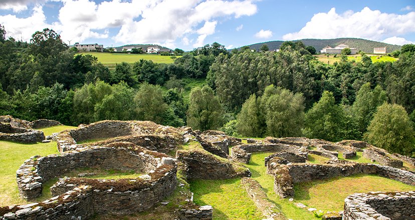
This is the site of the iconic Coaña castro ( also known as the Castelón), whose construction dates back to the Iron Age (5th-4th centuries BC) and which was the first settlement of this type to be excavated in Asturias, back in 1877.
Coaña forms part of the Navia Historical Park, together with eight other municipalities: Grandas de Salime, Pesoz, Illano, Boal, Tapia de Casariego, El Franco, Villayón and Navia.
The Cordal de Coaña is a very unknown and little-travelled route, so if you're looking to get off the beaten track, it's a fantastic option!
Everything you need to know before you put on your boots.
The Cordal de Coaña route (PR-AS 185) is very easy. It has no technical difficulties and the difference in altitude is 309 metres positive (it starts at 470 metres above sea level and after 4.5 kilometres we reach 720 metres).
The first half is a steady climb, although not very steep, and the second part is all downhill, so be careful if you suffer from joint pain in your knees or ankles. Oh, and if this is your case, don't forget your walking sticks.
There are 14.5 kilometres of linear route, approximately 3.5 to 4 hours (more if you go with children or someone to entertain themselves with the camera), and you will need two cars to do it.
It could be done in a circular route, but in that case you have to take into account that you would have to overcome quite a big difference in altitude at the end of the route (from the Coaña castro to the Bustabernego viewpoint), from 42 to 464 metres above sea level in an additional 6 kilometres.
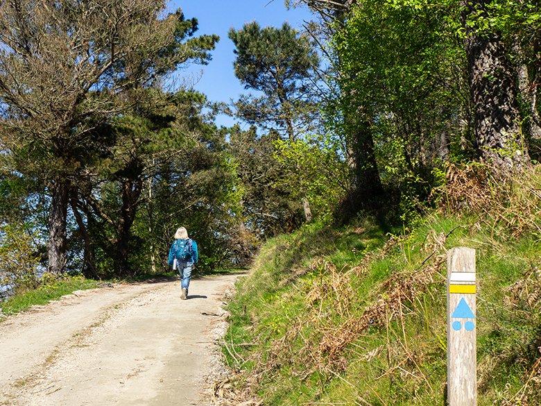
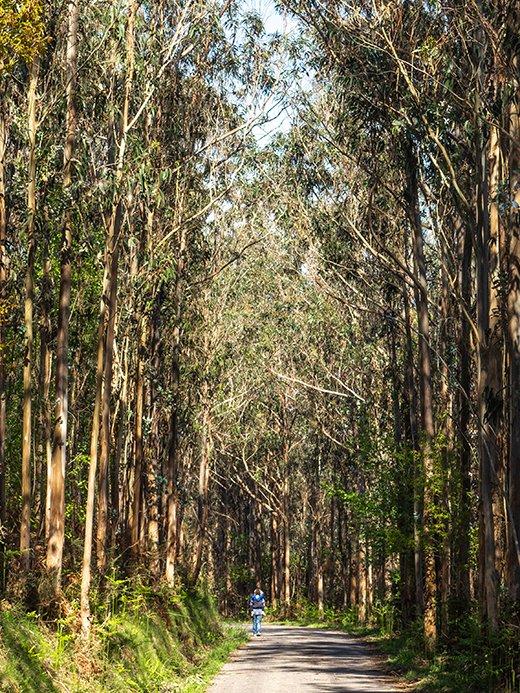
The tracks are wide and the road surface is very good, although at the beginning and end of the route there is quite a lot of asphalt. In any case, the path is still very beautiful, first with views of the coast and the nearby mountains, and then surrounded by towering eucalyptus trees.
For all these reasons, the Cordal de Coaña route is ideal to do with children who are used to walking, and even for those who are just starting to walk in the mountains, if we combine it with carrying.
It is also a very good option for carrying your child all the time, as it is not a demanding or complicated path; or for pushchairs adapted to this type of terrain, as except for some sections where the ground may be a little more broken, the rest of the tracks are quite regular.
On the contrary, although there is a long stretch of asphalt and the condition of the roads is quite good, it is not suitable for wheelchairs or people with reduced mobility, especially because of the slope.
But you know that no one knows better than you do your own conditions or abilities, so it is best that you evaluate your own case and decide accordingly.
On the other hand, it can be done by mountain bike without major problems, although remember that the first half of the route will be all uphill! However, once you're at the top, you'll just have to let yourself be carried away by the slope and enjoy the route.
Would you like to do it with your dog? You should know that although in the first 7 kilometres (more or less) there are some areas of water (streams or small springs), there is hardly any on the rest of the route, so don't forget to take enough water for your dog and yourself.
Route of the Cordal de Coaña step by step
The Cordal de Coaña route starts at the Bustabernego viewpoint, 7 kilometres (just over 10 minutes) from Coaña, the capital of the council.
To get there from Navia, take the turn-off on the AS-12 road towards Boal, and after approximately 5.5 kilometres turn right towards the San Luis/Teixedo recreational area/Bustabernego viewpoint. Then follow the signs to the recreational area, and when you reach it, continue towards Bustabernego until you find the viewpoint.
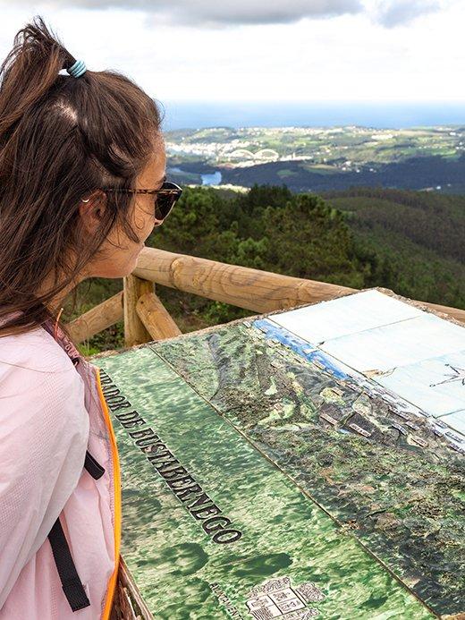
From the Bustabernego viewpoint you can see a very interesting panoramic view of the eastern end of the council of Coaña, as well as other neighbouring places such as Navia, the mouth of the Navia estuary, and Villayón.
In fact, there is an interpretative map with all the relevant points in the surrounding area, so that you can locate them yourself.
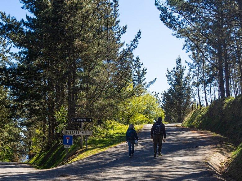
Walk along the asphalted track and 500 metres further on continue to the right towards "Orbaelle". After 2.2 kilometres from the start of the route, we leave the asphalt and enter the mountain on a path that climbs straight ahead, which passes next to a water tank.
Shortly afterwards we reach the top of Orbaelle (617 metres), a beautiful plain among pine woods and where there are usually cows, so we must be careful, especially if we are with children or dogs.
At this point you should pay attention to the signs on stones and trees, because the route now climbs up through the pine forest on the left hand side, and at first glance you may not see the signs.
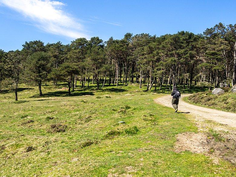
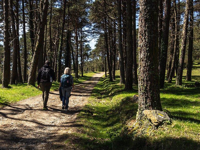
From here we continue along the main track until we reach the top of Seya Fermosa, at an altitude of 710 metres, the highest point of our route and a perfect spot for a refreshment stop, lunch or snack.
The summit of the council of Coaña is the peak of Fonteblanca (or peneo del Corvo), at 741.5 metres, and it is a short distance from here, so if you like to climb peaks, you can get close to the summit.
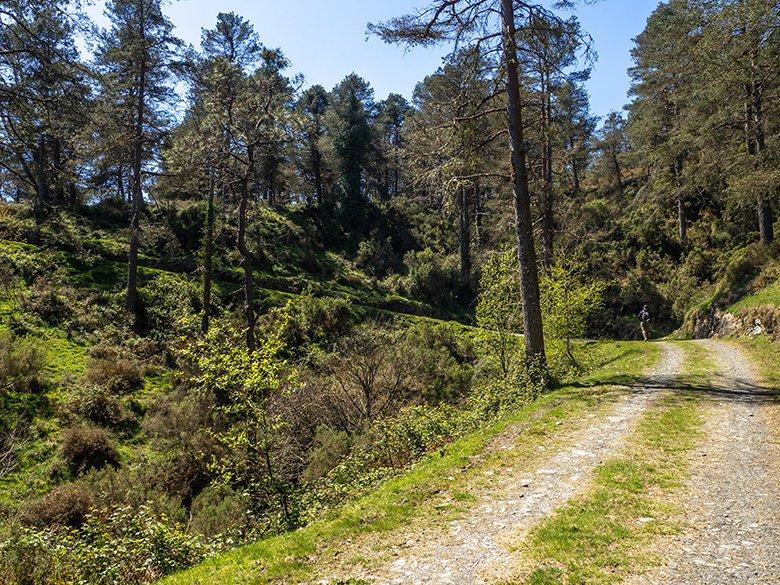
Fromhere we start to descend along a track that zigzags down the other side of the sierra.
We must be very careful during this stretch, as some crossroads may not be signposted. But if in doubt, remember to keep to the main track at all times, and 2.5 kilometres from Seya Fermosa, at a very sharp bend, keep to the right.
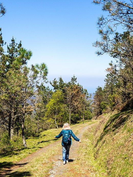
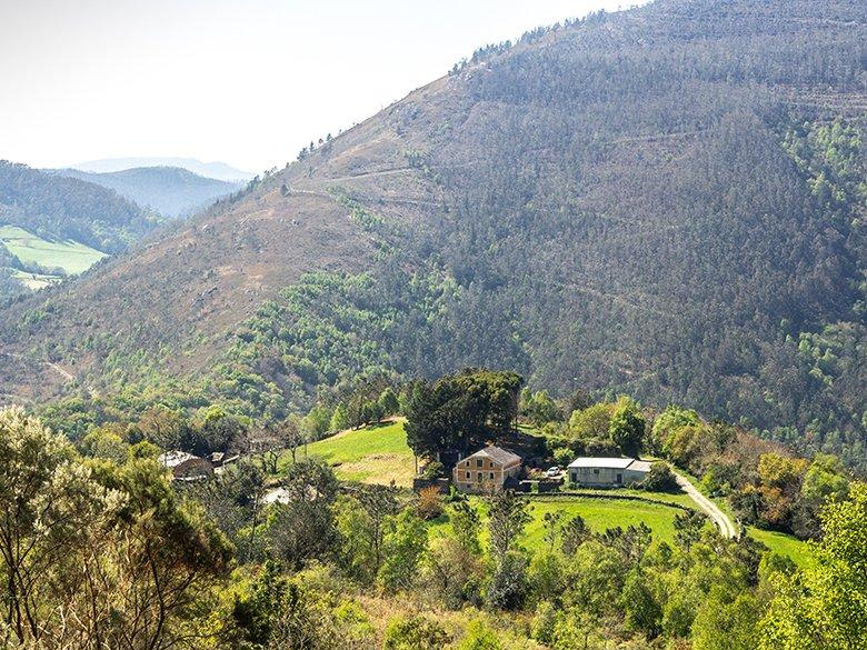
We will pass near the village of As Mestas and then, shortly before reaching Llosoiro, we will return to tarmac and will not leave it until the end of the route.
We will pass the Alto de Penedóis and arrive at Coaña, just in front of the cemetery. After walking a few metres along the road, turn right towards Busnovo.
If you have time and feel like making another stop, you can go and see the Discoid Stele, a granite disc of almost two metres, a symbol of Coaña, related to the world of the castros.
It is not known exactly when it dates from, nor its function, but you can still see blurred signs of an ancient text on it.
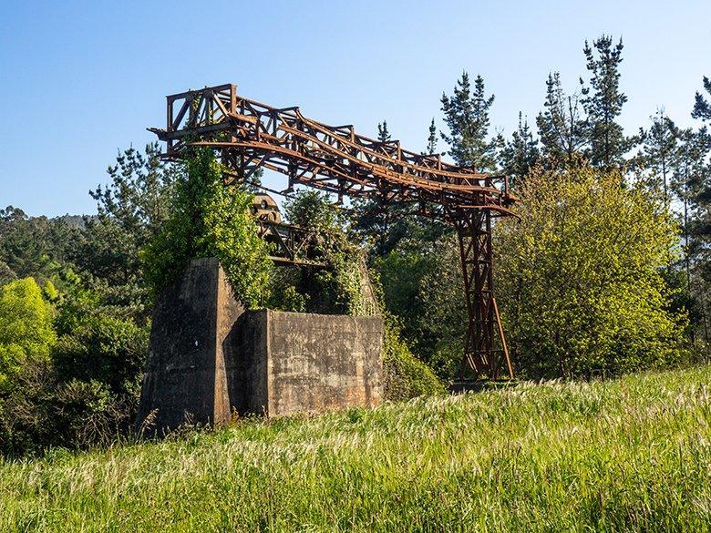
On the way to Busnovo, we come across the remains of the old cable car that linked El Espín and A Paicega, and which was used to transport the materials used to build the Grandas de Salime reservoir.
It was in operation between 1950 and 1953 (although the construction of the reservoir was extended between 1945 and 1955), and was 30 kilometres long and covered 740 metres of unevenness.
The cable car had 8 stations, 13 anchoring devices (like the one you can see in this photo below), and 190 masts.
It was a great help, as the Grandas de Salime reservoir was a great construction challenge, due to the bad roads and the shortage of lorries and fuel at that time (we cannot forget that Spain was in the middle of the post-war period).
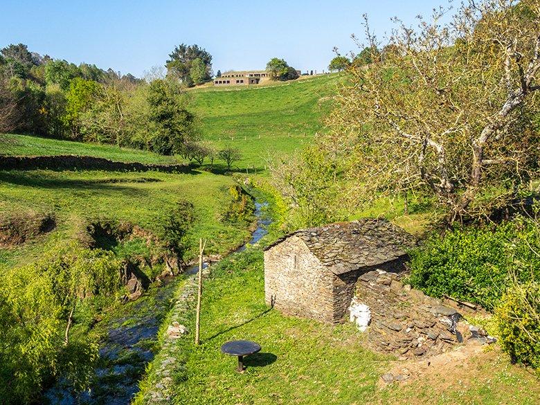
Busnovo is a very small and bucolic village, crossed by the Sarríou stream. Once we reach the bridge that crosses the stream, we will have a good view of the building that houses the museum of the Castro de Coaña, from which we are only separated by a small slope.
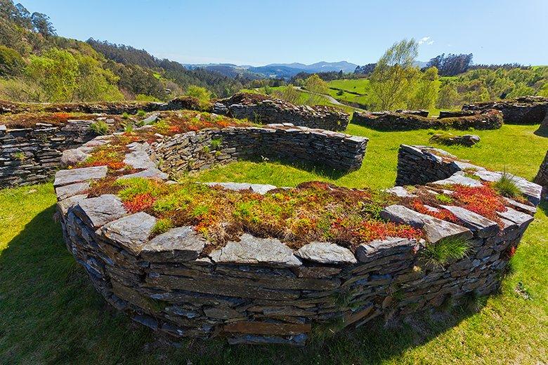
Around 2,500 years old (although what can be seen now are Roman remains from the 2nd century AD), the Castro de Coaña marks the end of our tour. It has been declared an Asset of Cultural Interest, and is one of the most interesting archaeological remains in Asturias.
It is open from Wednesday to Sunday from 10:30 am to 5:30 pm (from October to March it closes a little earlier, at 3:30 pm), so if you finish the Cordal de Coaña route in time, don't forget to visit it and immerse yourself for a while in Asturian castro culture.
Another option to end the day's route, while you return to the Bustabernego viewpoint to pick up your car, is to stop off at the San Luis recreation area. There, next to the hermitage of San Luis and San Roque, there are numerous picnic tables and a fairly large space to rest or play.
I'm sure that the grown-ups, the kids and the dogs will all enjoy this little while before setting off for home...
Subscribe to our newsletter and take advantage of offers, discounts, and news
Subscribe
