Back The path of La Regueirina: a walk through the damp forests of Tineo
The path of La Regueirina: a walk through the damp forests of Tineo
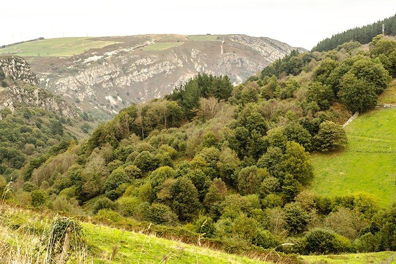
The Regueirina trail takes you into the heart of the council of Tineo, in the west of Asturias, to enjoy its villages, landscapes and routes.
The Regueirina path explores a wooded and humid valley in the council of Tineo, where the streams El Llavadoriu and La Regueirina, tributaries of the Mudreiros river, meet.
This is a peaceful route that runs hidden in a landscape of the southwest of Asturias, dominated by gentle hills and green meadows. A solitary route, perfect for soaking up nature and discovering a little more about this little-visited and unknown area of our region.
Would you like to explore the entrails of this council belonging to the Vaqueira region? You're sure to fall in love with the charms of this bucolic walk.
Everything you need to know before putting on your boots
The path of La Regueirina (PR. AS-286) is an easy route of four kilometres in length, lasting approximately two hours, and a circular route starting and finishing in the village of El Faedal, in the council of Tineo.
It has 200 metres of positive height gain (approx.), with a minimum altitude of 436 metres and a maximum altitude of 622 metres, something to consider especially in summer, as the second part of the route can be a little tougher as it is uphill and in full sun.
We should also bear in mind that the area of the reguero can be waterlogged in times of heavy rainfall, so it is advisable to check the weather before venturing out, and to use footwear appropriate to the circumstances (likelihood of a lot or a little mud).
Because of the slopes, the Regueirina trail is only recommended for children (not too young) who can handle a little slope. In any case, you know that there is no one better than yourself to assess your own abilities (and those of your children), because each case is different.
If you are thinking of doing the walk while carrying your child, you should consider that there are some steep areas that can be a bit tough if you are not strong, or if you are not very prepared to walk on uneven terrain.
In particular, the metres just after the waterfall are the most difficult, as the path is steep and narrow.
It is also not suitable for pushchairs or people with reduced mobility, nor can it be done by bike, but it is a fantastic plan to do with your dog, as in the area of the river he can cool off and splash around without any danger.
The path of La Regueirina: a waterfall as a reward
At El Pedregal (AS-216) we take the turn-off to Villanueva/Ordial/Nieres, and from there we have to travel 8 kilometres along a narrow country road to El Faedal.
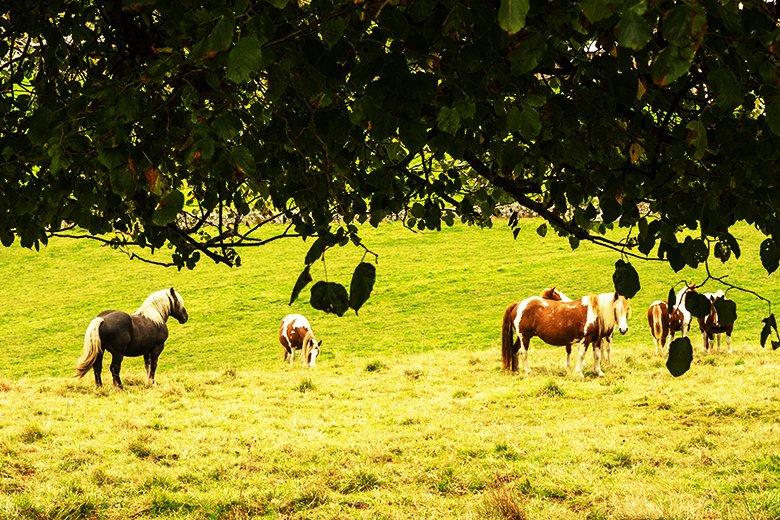
We will cross a delicate landscape of meadows where cattle graze, so keep your eyes open, let yourself be carried along by the road and enjoy the journey.
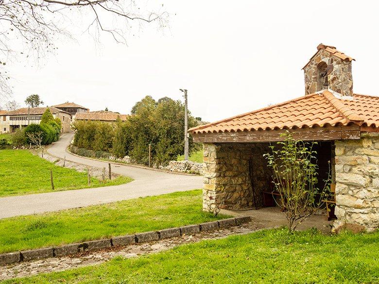
The Regueirina trail starts in El Faedal, next to the San Lorenzo hermitage. There is not much space for parking, so you have to be careful and park without disturbing (you must be especially careful not to park at the entrance to any property).
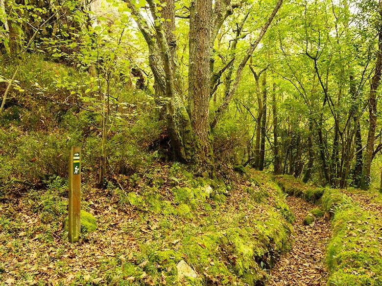
Walk towards the neighbourhood of La Llencia, and you will soon see the signs for the route, which enters the forest on the right hand side following the old Rañadoiro path.
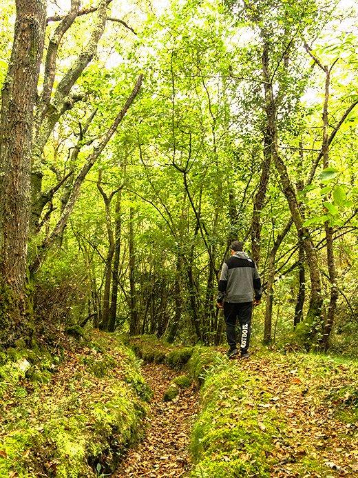
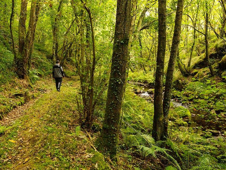
We will enter a forest of oak and chestnut trees, some of which are very large and have many years of history! We will also see holly trees and countless ferns, even beeches, although this may seem strange due to the low altitude at which we are.
If you do the Regueirina trail in autumn - the best time to do it - there will probably be numerous types of mushrooms, and you will enjoy the forest dyed in a thousand colours. So get your camera ready, or simply open your eyes wide to record this spectacle in your memory.
You might even be able to see another of the inhabitants of these mountains: the myth (Aegithalos caudatus), a small insectivorous bird that lives in the forest.
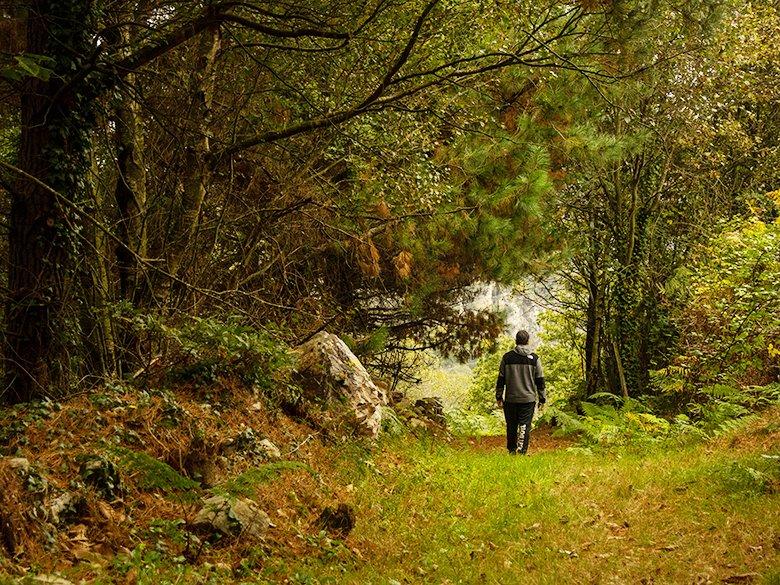
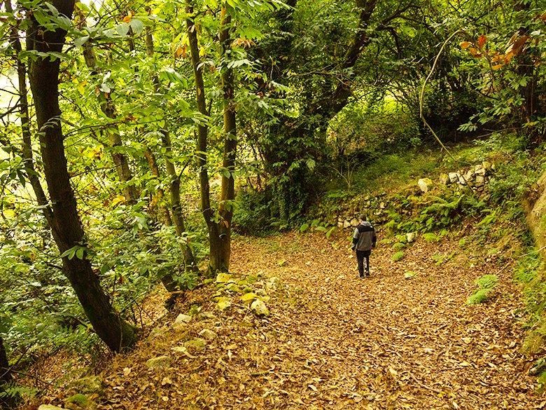
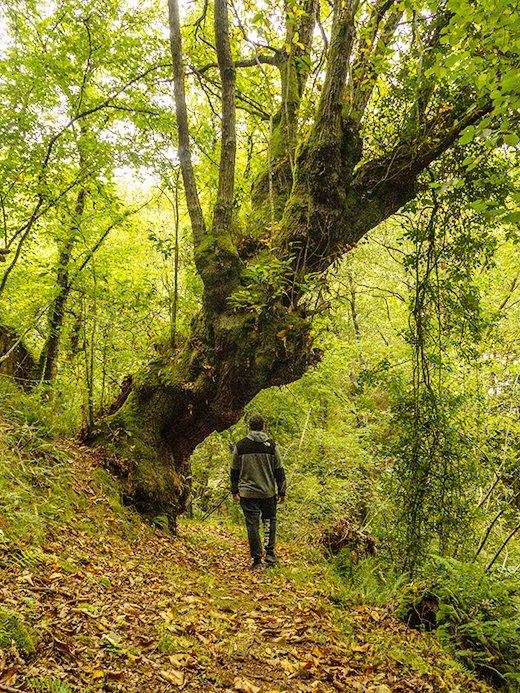
We will join several bends in a continuous descent until we reach the El Llavadoriu stream, to then reach the ruins of La Regueirina mill, a water mill owned by the village of El Faedal, where the villagers used to come down with their donkeys loaded with grain to grind and obtain flour.
Right next to it there is a small rest area with a table and benches, in case you feel like making a brief stop to regain your strength before continuing.
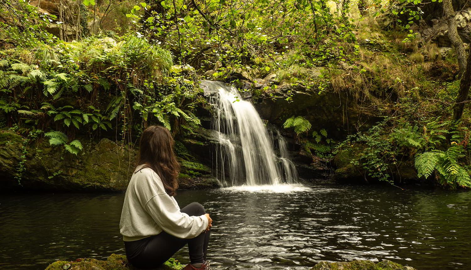
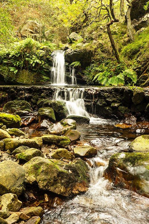
From here we walk along the mill dam until we come to the big surprise on this route: the waterfall formed by the Regueirina stream (also known as the Zaramatu waterfall).
It flows into a small reservoir, closed at one end by a dam built to supply the old hydroelectric power station.
The remains of the power station are to the left of the waterfall, in such poor condition that they almost go unnoticed. It was the first to provide electricity to the village of El Faedal in the 1940s.
From here we start to climb up the peña'l Molín, a very steep and rather uneven slope, which widens shortly afterwards and continues zigzagging up the mountainside.
A few metres further on we will come to the electricity track on the left, which will guide us along the mountain range until we reach the top of Las Portiellas, and then turn off to the left again towards El Faedal.
After a short descent and a return ascent through fields of crops, we reach the end of the route: the hermitage of San Lorenzo.
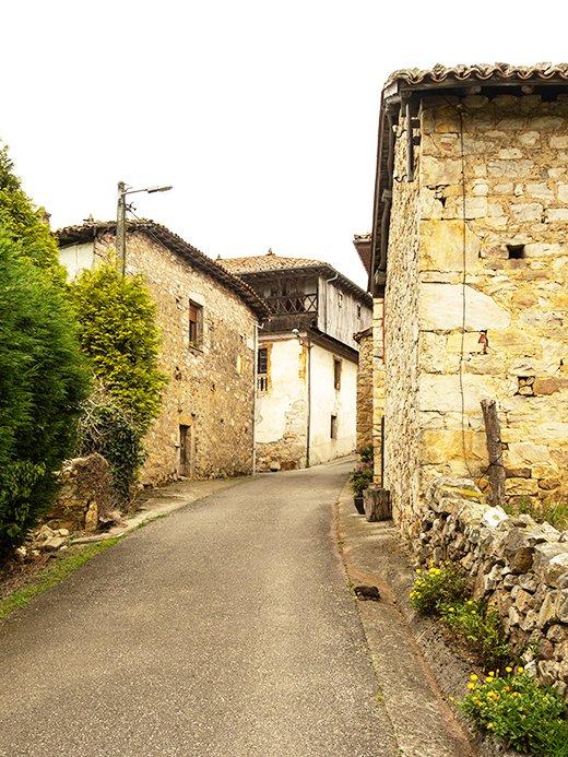
Now it's time to rest, but if you haven't been paying attention before, I encourage you to go back into the village to contemplate its charming traditional architecture.
If you feel like it, another tasty option to finish off the day could be to find a restaurant or bar to eat, because Tineo is a great place to eat! So don't forget to try the pote and chosco, if you get the chance. Believe me when I tell you that you will return home with your batteries fully charged.
Subscribe to our newsletter and take advantage of offers, discounts, and news
Subscribe
