Back Coastal routes for everyone in Asturias
Coastal routes for everyone in Asturias
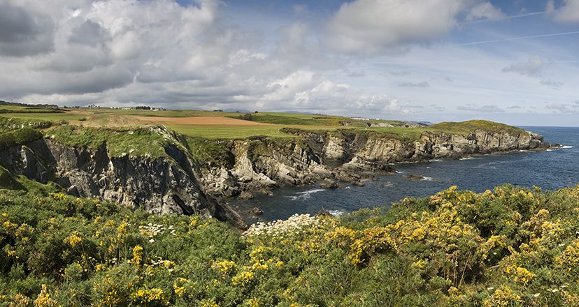
A walk along the coastal paths of Asturias is a great way to enjoy yourself, and we suggest some routes between beaches and cliffs that will make you feel great!
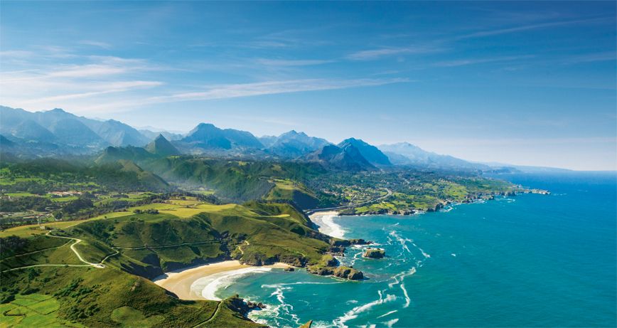
To talk about routes in Asturias is to feel the pure enjoyment of life at its purest. The caress of the breeze, the continuous surprises for your sensitive eyes, the greenery of the vegetation, the freshness of the water, the power of the cliffs, the shine of the sand..., and meanwhile, paths that link beaches, and that weave itineraries along a dream coast: that of the Natural Paradise.
A walk along some of the coastal paths of Asturias is a dreamlike journey, in which sea and mountains, rocks and cliffs, green and blue, foam and wind, waves and sand intermingle in a discreet balance, and always your active gaze enjoying so much beauty and serenity to the full.
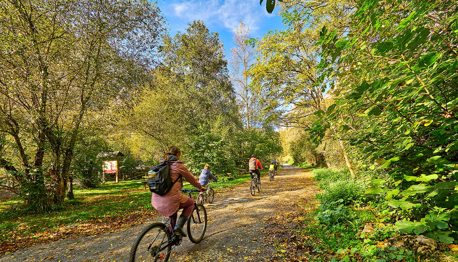
And what's more, the good thing about coastal paths is that they are very easy to walk, and that they invigorate body and soul...
Here are some routes between beaches and cliffs that will make you feel great!
Arenal de Morís-Playa de la Griega, in the heart of the Way of St. James
Taking advantage of the Camino de Santiago de la Costa, we take a beautiful route between two emblematic beaches: El Arenal de Morís and the beach of La Griega, discovering other sandy areas in the middle of both.
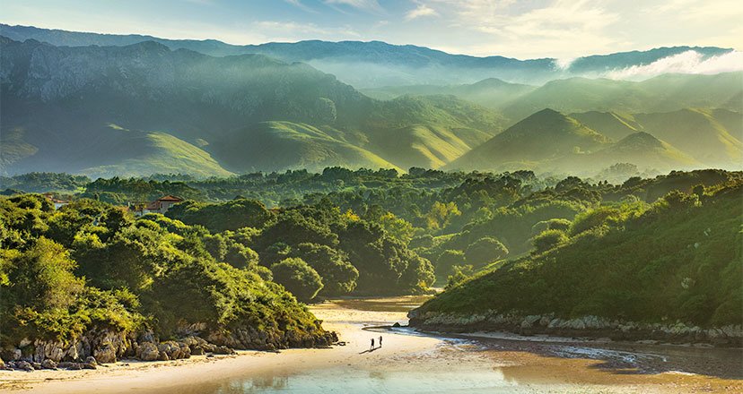
It is an incredible route, given that, between pastures and sea, treading sand or leaning out over cliffs, you can enjoy the views of the Sierra del Sueve and the Cantabrian Sea at the same time.
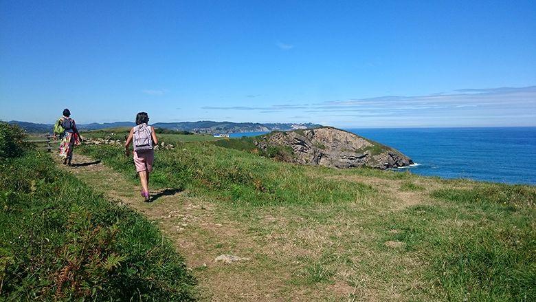
You will pass by the beaches of La Beciella, La Espasa, and El Barrigón, until you reach the beautiful beach of La Isla. Then you will pass through typical villages such as Güerres/Huerres and San Xuan/San Juan de Duz, to reach the beach of La Griega, where you will discover enormous dinosaur footprints, a unique geological landmark in the world.
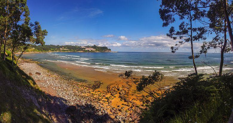
In total, 11 unforgettable kilometres of coastal and Jacobean route!
Luanco-Nieva, to discover Peñes
This route starts on the beach of Luanco, and heads west to Peroño, an excellent terrace overlooking the sea that will allow you to contemplate Luanco and its fishing port, and on days without haze you will be able to make out La Campa Torres and even the Picos de Europa.
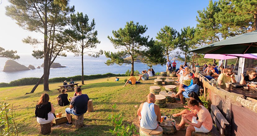
On your coastal walk, you will pass the beach of Moniello, where there is an attractive recreational area with unbeatable views for a stop. You will then reach Bañugues, and from here you will head towards Peñes, discovering the cape that places you at the most northerly point of Asturias. Although before conquering Peñes you will discover the old iron mines of Llumeres and the beaches of Viodo.
The Peñes lighthouse is very inspiring. It was built in the mid-19th century, and today the lighthouse house houses the Marine Environment Interpretation Centre, which has an interesting exhibition.
If you feel like it, you can end your walk here, but if your strength permits you can continue along the edge of the cliff, contemplating breathtaking landscapes, with the backdrop of the island of La Herbosa and the many seabirds that frequent it.
You will visit the village of Ferrero, and reach the marvellous beaches of Verdicio, La Carniciega and Aguilera, even passing by a Celtic settlement.
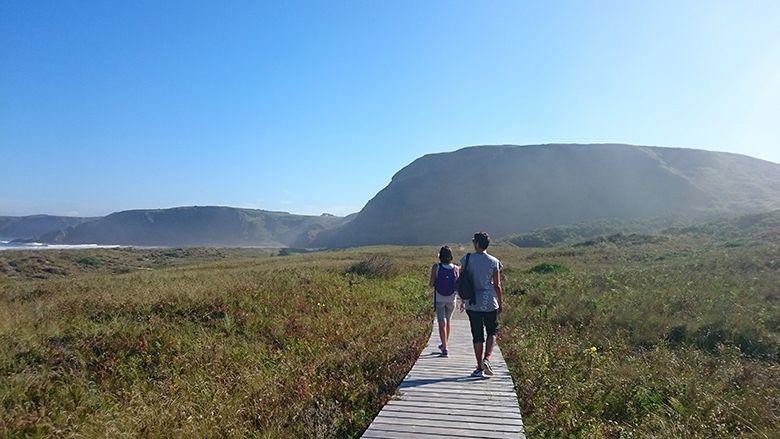
You can also contemplate Xagó beach, with its splendid dune system, to gradually approach the marvellous Nieva peninsula, where the lighthouse of the same name is located, and from where you can see the Avilés estuary, Salinas and the island of Deva.

A long route that will leave in your retina the incredible and varied landscapes of the central coast of Asturias!
Arnao-L'Arena beach, to reach the mouth of the river Nalón.
This path begins on the beach of Arnao, in Castrillón. A little over a kilometre further on, you will come to the first viewpoint, from where you can see the island of La Ladrona and a good part of the coastline, before descending towards the beach of Santa María del Mar.
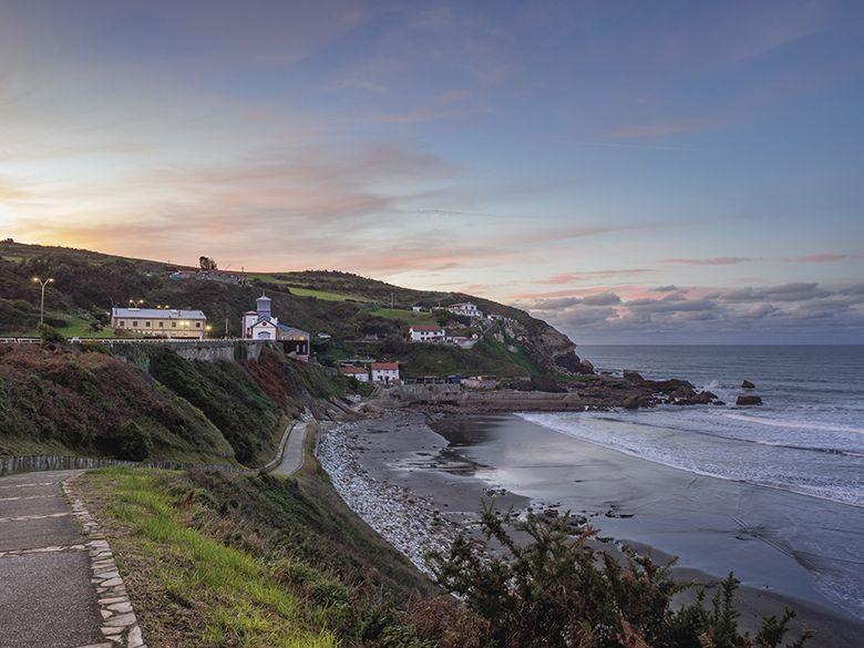
You will walk through a coastal landscape, characterised by the presence of vegetation. The beaches of Bahinas, Muniellos or Cordial will meet you, as well as one of the most emblematic points of this route: the viewpoint of Deva, where you can see the island of the same name. Further on, at the Racionera viewpoint, you can see the Bayas beach, the longest sandy area on the Asturian coastline.
Then you will come to the viewpoint of Los Quebrantos, where the large beach of the same name appears before your eyes, as well as the mouth of the river Nalón, and the village of L'Arena.
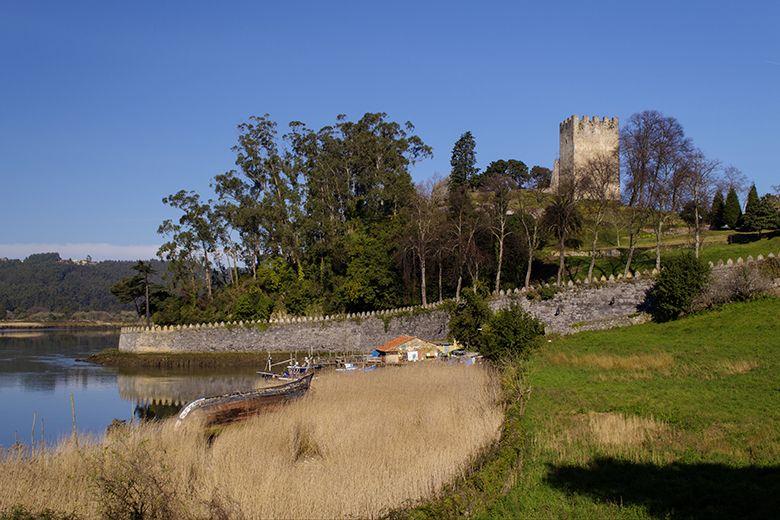
Once you reach La Arena you can continue on to the village of El Castillo, a very picturesque and different place due to its strategic location at the mouth of the river Nalón, and because it is home to the Castle of San Martín, a fortified enclave whose origins date back to the reign of Alfonso III, who built it to protect the coast and the estuary from Norman invasions.
A more than evocative end to a route that you will find most enjoyable and varied!
San Esteban-Playa de Aguilar, under the influence of the Holy Spirit Chapel
This route starts at the mouth of the river Nalón, specifically at the very port of San Esteban, which has a great industrial and coal-making tradition, and therefore a unique appearance.
The route is known as the route of the viewpoints, because you will come across several along the walk, whose "hardest" moment is the 420 steps you have to climb from the port of San Esteban to reach the viewpoint and the white hermitage of the Espíritu Santo. But when you get there you will feel that it was well worth the effort. You will see the beach of Los Quebrantos, the island of Deva and Cape Vidio...
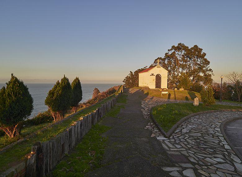
You will go from viewpoint to viewpoint, bordering beaches such as Focarón, Cazonera, Las Llanas, Xilo, etc. until you reach Aguilar.
And between cliffs and beaches, unforgettable viewpoints such as L'Atalaya or Los Glayos.
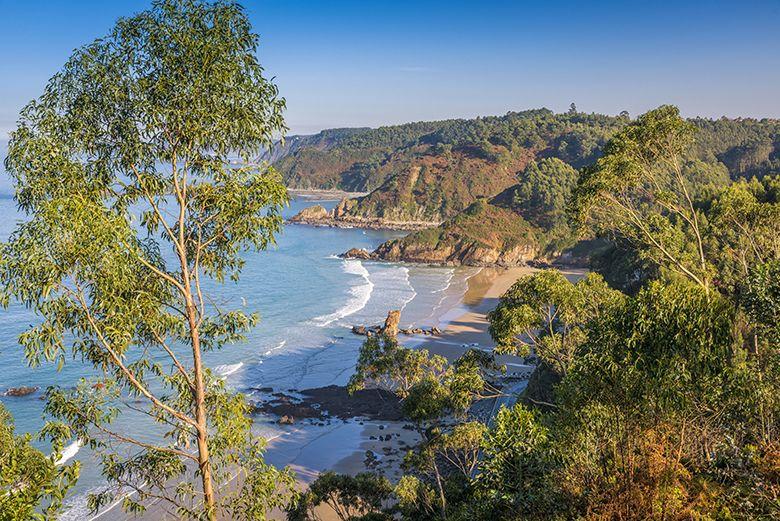
The route ends on the beach of Aguilar, and a good swim, if you feel like it and if the weather allows it...
You couldn't ask for more!
Bao and Barayo-Navia, with a stop at Puerto de Vega
The route starts in the village of Bao y Barayo, in Navia, from where you will have wonderful views of Barayo beach.
The route takes you to Punta del Cuerno, continuing along a fishermen's path to the inaccessible La Romanela cove, the small Puertochico and El Pariso coves, the wide Canares cove and the Asteriro cove, which you will cross at the back. To the left you'll see the town of Vigo, and in the distance in the distance the Panondres mountain range.
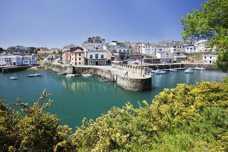
Shortly after, the route takes you to the cove known as El Castillo, from where you can see Puerto de Vega, one of the most beautiful fishing villages on the Asturian coast. Once there, you will take a path and pass by the beach of La Losera and the island of Soirana, arriving at the spectacular beach of Frexulfe.
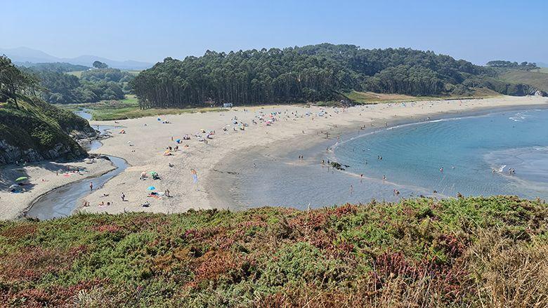
Between Frexulfe and Navia beach, you can take a look at other equally beautiful beaches such as Fabal, Coedo, Bragada and Moro beach.
And once at Navia beach, a nice walk to the town of Navia and the end of the route!
Subscribe to our newsletter and take advantage of offers, discounts, and news
Subscribe

