Path of the Viewpoints

- Address St Stephen's Central Asturias
- Distance Distance: 12.6 kms
- Difficulty Difficulty: Medio
- Cumulative difference in altitude + Cumulative difference in altitude: +286 m
- Cumulative difference in altitude - Cumulative difference in altitude: -286 m
- Maximum altitude Maximum altitude: 120 m
- Minimum altitude Minimum altitude: 49 m
- IBP index IBP index: 49
- Modality Modality: Senderistas
- Type of route Type of route: Ida y Vuelta
- Route type Route type: Costa
- Return by Train Return by Train: No
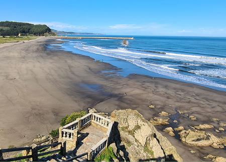
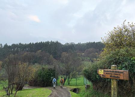
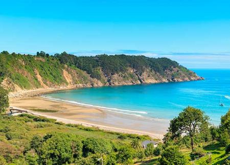
The Path unites history and landscape on the coast of Muros de Nalón. It begins in San Esteban, an old coal port, where there are still cranes and loading bays that bear witness to its mining past. Along the route, the views from the Espiritu Santo viewpoint and other panoramic points are outstanding, until it ends at Aguilar Beach, one of the most emblematic beaches in Asturias.
The Senda de los Miradores de Muros de Nalón, recognised in 2023 with the Blue Flag in the category of Blue Paths by the ADEAC, begins at the port of San Esteban, next to the train station. This port, which in its day was the first and only coal port in Spain, during the boom of the sector in the 20th century, was the outlet for the ore for the iron and steel industry. Its restored cranes and coal loading bays are still preserved, testimony to its links with the mining industry.
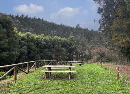
From this point, the route heads towards El Garruncho Beach, where the ascent to the Espíritu Santo Viewpoint begins via a flight of stairs. This viewpoint offers an excellent panoramic view of the Nalón estuary and its mouth. Next to the viewpoint is the Ermita del Espíritu Santo hermitage and its recreational area.
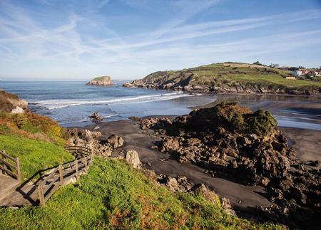
The path continues through a forest of chestnut and eucalyptus trees, bordering Focarón Beach in the direction of Cazonera Beach. Halfway along the route, the path skirts the latter beach and reaches the Mirador de los Glayos viewpoint, where a short detour leads to the Playa de las Llanas beach.
The route continues towards the Alto de las Llanas, with a new viewpoint and rest area, and continues to the Miradoiro, a natural balcony that allows you to contemplate the coast and the route.
In the last stretch, the path reaches the archaeological remains of Castro del Campón and the Mirador de la Playa de Veneiro, ending at Playa de Aguilar, one of the best-known sandy beaches on the Asturian coast. Note: Once at Aguilar Beach, the return to the starting point should be made by the same route, enjoying the views and points of interest along the way.
During the itinerary, the visitor will find rest areas and fountains, which makes this path an ideal option to enjoy nature, the sea and the coastal heritage of Muros de Nalón at a leisurely pace.
- It runs partially through the Cabo Busto-Luanco SAC of the Natura 2000 Network.
- Route coincides with GR 204
Basic tips before going into the mountains
- If you go with a dog, always keep it on a leash.
- Avoid approaching livestock.
- If you find mastiffs protecting livestock, do not approach them, do not pet them and do not feed them. Do not allow them to follow you or stray from their herd. They are working.
- Don't leave a trail. Collect all your waste, including organic waste. Nature is not a dumping ground.
- Act with prudence. Plan your route well, take everything you need and make sure it is adapted to your physical capacity.


