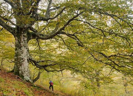
Peloño Forest

- Distance: 27.5 kms
- Difficulty: Very difficult
- Cumulative difference in altitude: +1027 m
- Cumulative difference in altitude: -1027 m
- Maximum altitude: 1408 m
- Minimum altitude: 997 m
- IBP index: 105
- Document: Accessibility
- Modality: Hikers
- Type of route: Round trip
- Route type: Mountain
- Return by Train: No
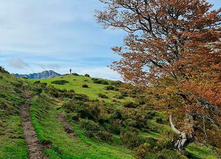
Its canopy of centuries-old beech trees invites you to immerse yourself peacefully in nature, where the light filters silently through the trees. Ideal in autumn for its vibrant colours and perfect for everyone, as you can adjust the distance to suit how far you fancy walking.
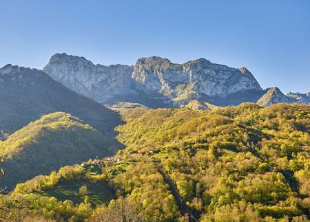
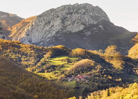
A walk through the Peloño Forest takes you into one of the largest and best-preserved beech forests in Asturias, a true natural sanctuary within the Ponga Natural Park. This linear route, some 14 kilometres each way, begins at the spectacular Les Bedules viewpoint. From this point, which features a wooden walkway adapted for people with reduced mobility, you can enjoy a unique panoramic view: towards the Ponga Valley on one side, and towards the imposing Picos de Europa on the other.
The route follows the old Camín de los Arrieros, a wide, well-signposted track with a comfortable surface, which winds its way into the heart of the beech forest. The atmosphere is cool and peaceful, accompanied by the song of birds such as woodpeckers and jays, whilst unrivalled views of the surrounding mountains filter through the forest clearings.
After a walk of around 3 km, you reach Collado Granceno, with a fountain and a short detour leading to a centuries-old beech tree, a living symbol of the passage of time. As we continue, the beech trees give way to scattered oak trees until we reach the imposing Roblón de Bustiello, a monumental pedunculate oak that has become one of the route’s landmarks.
Further on, the path leads to Collada Guaranga, the northern boundary of the beech forest, where you’ll find old machine-gun nests from the Spanish Civil War, and from where you can see the Sen de los Mulos peak. From here, you can continue on to the Arcenorio meadow, beneath Peña Ten, a vast pastoral landscape where the chapel of the same name stands, surrounded by huts and high-mountain flowers such as gentians.
Although the full round-trip route is around 28 kilometres, it is not necessary to go all the way to the end. The track allows you to adapt the route according to the time you have and your stamina, making it an excellent option for families or walkers who simply wish to explore a section of the Peloño beech forest, without missing out on its beauty and tranquillity.
- It runs through the Ponga Natural Park and Biosphere Reserve, and through the Ponga-Amieva Special Area of Conservation (SAC) and Special Protection Area (SPA) within the Natura 2000 network
Basic tips before heading out into the mountains
- If you’re taking a dog with you , always keep it on a lead.
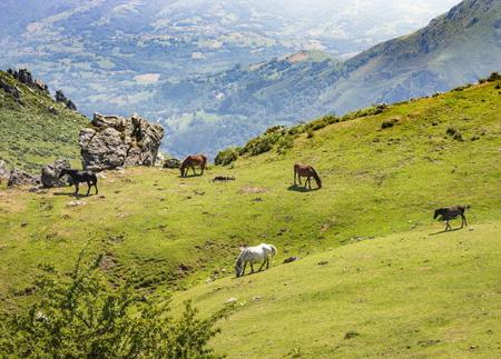
- Avoid approaching livestock.
- If you come across mastiffs guarding livestock, do not approach them, stroke them or feed them. Do not allow them to follow you or stray from their herd. They are working.
- Leave no trace. Pick up all your rubbish, including organic waste. Nature is not a rubbish tip.
- Be sensible. Plan your route carefully, take everything you need and make sure it’s suitable for your fitness level.
 Further recommendations for planning your route
- Please note: The route description is for guidance only and reflects the conditions of the route at the time of writing. The condition of the paths, their accessibility and signposting may vary over time due to natural causes, maintenance work, access restrictions or other circumstances. Before setting off, it is advisable to check the current conditions of the route, consult the weather forecast and assess whether it is suitable for each person’s experience and physical fitness.