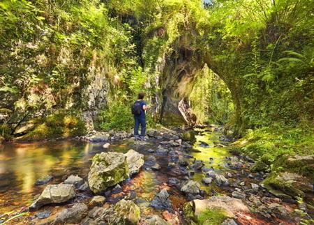
Vía Verde de Fuso

- Dirección Oviedo/Uviéu, Les Caldes Centro de Asturias
- Distancia Distancia: 10,43 kms
- Dificultad Dificultad: Fácil
- Desnivel acumulado + Desnivel acumulado: +5 m
- Desnivel acumulado - Desnivel acumulado: -95 m
- Altitud máxima Altitud máxima: 210 m
- Altitud mínima Altitud mínima: 110 m
- IBP index IBP index: 26
- Modalidad Modalidad: Familias
- Tipo recorrido Tipo recorrido: Lineal
- Tipo de ruta Tipo de ruta: Vía Verde
- Retorno en Ferrocarril Retorno en Ferrocarril: No
El recorrido comienza en el Parque de Invierno, uno de los grandes pulmones verdes de Oviedo/Uviéu, donde la vegetación empieza ya a anunciar la transición hacia un entorno cada vez más rural. Entre los árboles que nos acompañan destacan avellanos, carbayos, abedules y encinas, y no es raro escuchar o avistar aves como ánades reales, pájaros carpinteros o reyezuelos listados, entre otras especies forestales.
La senda sigue el trazado de la antigua vía férrea que conectaba Oviedo/Uviéu con Uxo y San Esteban, y que fue reconvertida en vía verde tras el cierre de la línea en 1999. A lo largo del primer tramo, atravesamos varias veces por debajo de la autovía, y poco después llegamos a la Antigua Estación de Tren de La Manjoya, con el pico Mostayal asomando en el horizonte.
El recorrido continúa pasando por antiguos túneles ferroviarios, entre los que destacan:
El Molineru (150 metros de longitud).
El Mergallu (70 metros).
Premaña (30 metros).
Veneros, el más largo, con 260 metros.
Entre los túneles, el paisaje sigue evolucionando hacia zonas más abiertas, donde praderías y bosques de ribera acompañan al caminante. En el tramo intermedio se pueden ver también molinos antiguos, vestigios de la actividad agraria e industrial de la zona.
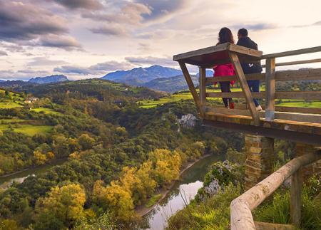
La senda nos lleva hasta la antigua Estación de Fuso, donde podemos observar el puente de hierro centenario sobre el río Nalón y la Peña Avis en el horizonte. A partir de aquí, la ruta enlaza con la Senda Ribera del Nalón, cruzando el río por una pasarela peatonal para seguir por la margen del Nalón hasta llegar a Les Caldes.
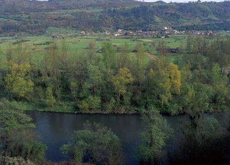
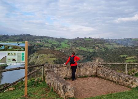
Este último tramo de ribera, incluido en la Red Natura 2000, permite disfrutar de un entorno natural de gran valor ecológico antes de alcanzar el Balneario Real de Las Caldas, antigua casa de baños del siglo XVIII, ejemplo del pasado termal y la tradición de aguas medicinales de la zona.
El regreso puede hacerse por el mismo camino o, si se prefiere, utilizando el transporte público desde Les Caldes. Esta senda es una opción perfecta para quienes buscan una ruta cómoda, sin grandes desniveles, combinando naturaleza, historia y patrimonio ferroviario, con el aliciente de recorrer, en apenas unos kilómetros, el camino desde la ciudad hasta la tranquilidad de la ribera.
- El recorrido se cruza perpendicularmente con el GR-106
- Señalética Propia
Consejos básicos antes de salir a la montaña
- Evita acercarte al ganado.
- Si encuentras mastines protegiendo al ganado no te acerques, no les acaricies ni les des comida. No permitas que te sigan ni se alejen de su rebaño. Están trabajando.
- Si vas con perro, llévalo siempre atado.
- No dejes huella. Recoge todos tus residuos, incluidos los orgánicos. La naturaleza no es un vertedero.
- Actúa con prudencia. Planifica bien la ruta, lleva todo lo necesario y asegúrate de que se adapta a tu capacidad física.


