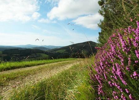
Via Verde del Eo-Ruta del Ferrocarril (Eo Greenway-Railway Route)

- Address San Tiso Western Asturias
- Distance Distance: 12.32 kms
- Difficulty Difficulty: Fácil
- Cumulative difference in altitude + Cumulative difference in altitude: +60 m
- Cumulative difference in altitude - Cumulative difference in altitude: -60 m
- Maximum altitude Maximum altitude: 81 m
- Minimum altitude Minimum altitude: 39 m
- IBP index IBP index: 34
- Modality Modality: Familias
- Type of route Type of route: Ida y Vuelta
- Route type Route type: Vía Verde
- Return by Train Return by Train: No
Along the way, the river Eo and several tunnels accompany the hiker, offering an easy and perfect route to enjoy with the family, either on foot or by bicycle.
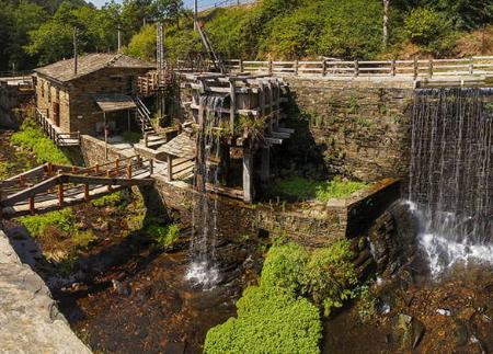
The Eo Greenway, also known as the Railway Route, follows the route of the old mining railway that linked A Pontenova (Galicia) with San Tirso de Abres (Asturias). This track was used from the beginning of the 20th century to transport iron from the Vilaoudriz mines to the port of Ribadeo. Nowadays, it is a linear itinerary of 13 kilometres (outward and return) of low difficulty, ideal for families, cyclists and hiking enthusiasts.
The route begins in San Tiso, next to the old train station, which is now a private house. A few metres away is the Base de la Aguada, an old structure that housed a water tank used to supply the steam locomotives. From this point, the path advances along a practically flat route, following the course of the river Eo, which offers an ideal habitat for trout, sea bream, salmon and a variety of birdlife.
One of the main attractions of the route are the six tunnels we pass through, the first of which is the San Tirso tunnel, followed by the Volta tunnel, the Central tunnel, the Pedrido tunnel, the Carriceiro tunnel and the Asela tunnel, the longest at 173 metres. All of them are illuminated with lights powered by solar panels, but it is recommended to carry a torch or headlamp in case any of the lights fail.
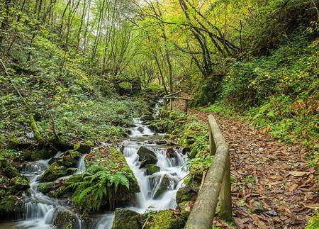
The route continues through natural areas of great beauty, such as the riverside woodland that accompanies the course of the river. Along the way, we pass the Piago Mayor suspension bridge, a perfect spot to stop and contemplate the surroundings. Further on, the route takes us to the salmon ladder, an ingenious system that allows the fish to overcome the obstacles and continue their journey upstream.
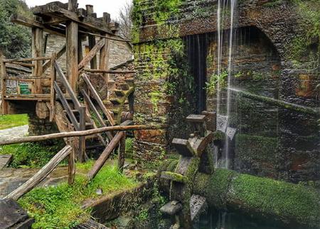
Along the path, you can also see other elements of industrial heritage, such as the "caseto", a small building that used to store coal in the railway era. The Louredal hydroelectric power station and the old wooden bridge complete the inventory of historical infrastructures that enrich the route.
The end of the route is at the O Cairo stream, where the natural border between Asturias and Galicia is located. From here, it is possible to continue another six kilometres to A Pontenova, where you can visit the calcination furnaces used to process the ore.
The Eo Greenway is not only a historical and scenic route, but also an ideal place for active and educational tourism, where visitors can connect with the region's mining past while enjoying the tranquillity and charm of the natural surroundings.
- It runs through the Biosphere Reserve Río Eo, Oscos e Terras de Burón, as well as partially through the ZEC Río Eo of the Natura 2000 Network.
- PR-AS 300
Basic tips before going into the mountains
- Avoid approaching livestock.
- If you find mastiffs protecting livestock, do not approach them, do not pet them and do not feed them. Do not allow them to follow you or stray from their herd. They are working.
- If you go with a dog, always keep it on a leash.
- Don't leave a trail. Collect all your waste, including organic waste. Nature is not a dumping ground.
- Act with prudence. Plan your route well, take everything you need and make sure it is adapted to your physical capacity.


