Route Piorno to Los Fornos

- Piorno Western Asturias
- Distance: 3.62 kms
- Difficulty: Easy
- Cumulative difference in altitude: +218 m
- Cumulative difference in altitude: --218 m
- Maximum altitude: 632.21 m
- Minimum altitude: 504.32 m
- IBP index: 31
- Modality: Families
- Type of route: Round trip
- Route type: Mountain
- Return by Train: No
It is an easy route perfect for hiking lovers who are looking for an experience that connects them with the history of Asturias.
This route starts in the village of Piorno, located about 20 minutes by car from San Martín de Oscos and joins it with Los Fornos, a place where mining was practised taking advantage of the slope of the A Zarra mountain.
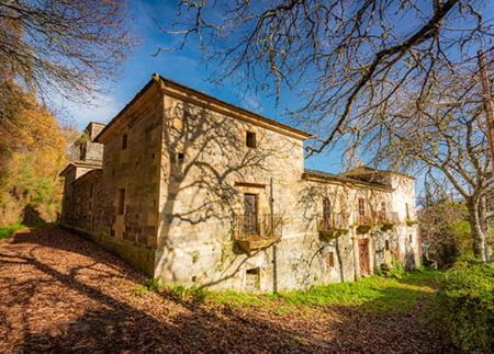
Before starting the itinerary, we strongly recommend a stop in Piorno to admire its traditional buildings. Materials such as wood, stone and slate blend together in these buildings, witnesses to the vernacular architecture of the area and to a way of life that has endured over time.
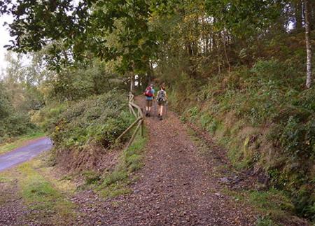
From Piorno, the ascent to the other side of the valley begins. As we gain height, the landscape opens up, revealing a mosaic of small traditional villages: El Arne, A Arruñada, or San Cristobo, already in Villanueva de Oscos, with the imposing Sierra de la Bobia rising majestically in the distance.
Along the way, we will discover several Cortines. These fascinating circular stone constructions are a testimony to the ancient beekeeping traditions of the region. They were used to safeguard the hives from wildlife, especially bears.
After about an hour's walk, we reach the area of Los Fornos. In a wetland located to the left of the path we will find two bocaminas. You will easily recognise the place by the characteristic smell of mineral in the air and the presence of two curious cylindrical buildings. These are calcining furnaces, used to homogenise the iron ore once it had been extracted from the side of the A Zarra mountain.
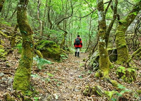
After carefully exploring this mining environment and soaking up its history, we will return to Piorno along the same route, enjoying the heather, gorse, ferns, oaks and chestnut trees that we will find along the way. This route combines nature, mining history and tradition in a short itinerary.
SL13
Basic tips before going into the mountains
- If you go with a dog, always keep it on a leash.
- Avoid approaching livestock.
- If you find mastiffs protecting livestock, do not approach them, do not pet them and do not feed them. Do not allow them to follow you or stray from their herd. They are working.
- Don't leave a trail. Collect all your waste, including organic waste. Nature is not a dumping ground.
- Act with prudence. Plan your route well, take everything you need and make sure it is adapted to your physical capacity.