Forests of Valgrande

- Car park of the former Mesón el Ruchu Central Asturias
- Distance: 21.7 kms
- Difficulty: Difficult
- Cumulative difference in altitude: +553 m
- Cumulative difference in altitude: -553 m
- Maximum altitude: 1147 m
- Minimum altitude: 881 m
- IBP index: 68
- Modality: Hikers
- Type of route: Round trip
- Route type: Mountain
- Return by Train: No
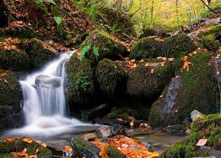
Following a forest track, we immerse ourselves in a mosaic of beech, oak, willow and birch trees, accompanied by streams and views of the valley. The route, ideal in spring and autumn, shows the essence of the Asturian forests in all their splendour.
The route starts at the car park of the former Mesón El Ruchu, now closed, where you can park. From there, walk about 100 metres along the road in the direction of Payares, a stretch where extreme caution should be taken. The path starts on a livestock track on the left, beginning a gentle descent that brings us closer to the river Valgrande.
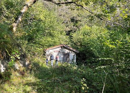
Along the way, the landscape is enriched by the presence of willows, oaks and pastures, as well as livestock fences that should be left as they are. After about four kilometres, we cross the Camino de Santiago in the area of Samiguel del Río, where we can see abandoned houses, such as Panizaliega and La Casona, and the Fuente La Güerta.
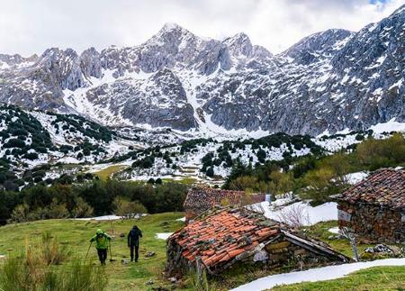
We go on for another 300 metres and cross the Puerto stream, from where there is a privileged view of the Parador Nacional de Pajares, framed by the valley of the Beechwoods. Shortly after, after passing the Las Mestas stream, which has its source in the Cuitu Negro, the path takes us into an environment where birch, yew and beech trees stand out, creating a landscape of great beauty.
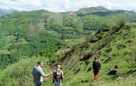
The route continues parallel to the river Valgrande until we reach kilometre nine, where we cross a bridge over the river and begin an ascent towards the Negrón tunnel. In this section, the slope becomes steeper, so it is advisable to carry water. The path crosses meadows where it is common to see cows and horses grazing, while the Las Ubiñas-La Mesa Natural Park unfolds with spectacular views.
Finally, we reach the vicinity of the Negrón tunnel, the end point of the route, from where we return to the starting point following the same path. This route allows you to immerse yourself in the biodiversity of the Valgrande valley, combining native forests, mountain rivers and exceptional panoramic views, in an ideal itinerary for nature and hiking lovers.
- It runs through the Natural Park and Biosphere Reserve of Las Ubiñas - La Mesa, as well as through the Valgrande SCI of the Natura 2000 Network.
- The route crosses perpendicularly with the GR-100 (Ruta de la Plata) and the Camino de Santiago.
- On the route there are cattle fences, leave them in the same state in which they are in.
- There are steep sections going up towards the Negrón tunnel.
- It is advisable to carry water
Basic tips before going into the mountains
- If you go with a dog, always keep it on a leash.
- Avoid approaching livestock.
- If you find mastiffs protecting livestock, do not approach them, do not pet them and do not feed them. Do not allow them to follow you or stray from their herd. They are working.
- Don't leave a trail. Collect all your waste, including organic waste. Nature is not a dumping ground.
- Act with prudence. Plan your route well, take everything you need and make sure it is adapted to your physical capacity.