Foces de El Pino - Foces de Ruayer

- Distance: 17.8 kms
- Difficulty: Very difficult
- Cumulative difference in altitude: +935 m
- Cumulative difference in altitude: -921 m
- Maximum altitude: 1540 m
- Minimum altitude: 622 m
- IBP index: 105
- Modality: Mountaineers
- Type of route: Linear
- Route type: Mountain
- Return by Train: No
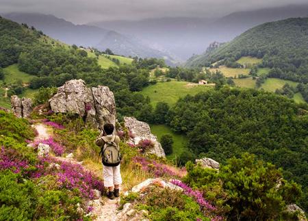
The route starts in the village of El Pino, from where a gently ascending track leads us to the Molino de Peón, an old mill that has been restored as a trout farm. At this point we take the track that crosses the river and heads upwards towards the Foces del Pino, through meadows and areas with abundant native trees.
Immediately afterwards, we will find a fountain on our right, and right next to it a path leads us to a crossroads, which is next to the remains of an old hydroelectric power station. Here we take the path to the left, crossing the river again over a stone bridge. This gorge is remarkable for its wild beauty.
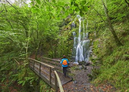
At this point, take the track on the left that climbs upwards towards the south, until you come out of the gorges, where the track turns into a stone path carved into the rock.
At the end of the foces, the landscape changes and the high mountain pastures appear.
It is here that we must take the path that turns left and, without crossing the river, climbs upwards and, after a short stretch, we take the turning to the right that leads to Caniecha and Vegarada. It is at this turn-off that we must choose which route we want to take, given that on the right the path goes to a place called La Cabritera, dotted with broom and broom and shaded by a magnificent beech forest.
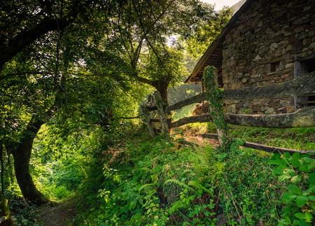
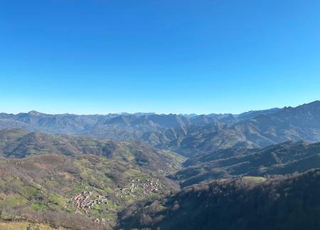
La Cabritera leads us to Caniecha or Caniella, a sheepfold with two huts and a spring where we can rest. After passing the huts, we reach the pass of Caniella, which can be reached by climbing a short distance. This place is a beautiful vantage point from which we can see peaks such as Estobín, Puerta Faro, Peña Redonda, etc.
From here we must ascend to the nearby pass of the same name, with beautiful panoramic views. Our route continues southwards towards Mamergona, an esplanade of pastures where there is a small refuge with a tap where we can get water.
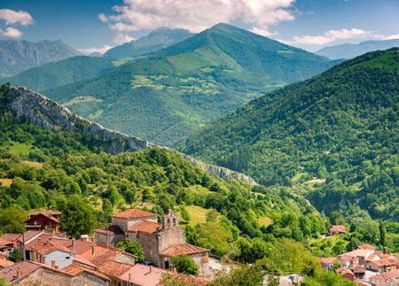
Continuing southwards and after a short climb, we reach Cotarón, whose pass offers innumerable panoramic views. Once again, another descent through broom and broom trees takes us to Vega de la Reina. We are now at the highest point of the route, and have finally reached the border between Asturias and León. Now all we have to do is take the track that, heading north, descends between the sheepfolds of Brañuela and Carbayalín. This brings us to the village of Ruayer. From here we continue along the road, passing through the Hoces del Río Aller, and ending the route at La Paraya.
- PR-AS 31
Basic tips before going into the mountains
- If you go with a dog, always keep it on a leash.
- Avoid approaching livestock.
- If you find mastiffs protecting livestock, do not approach them, do not pet them and do not feed them. Do not allow them to follow you or stray from their herd. They are working.
- Don't leave a trail. Collect all your waste, including organic waste. Nature is not a dumping ground.
- Act with prudence. Plan your route well, take everything you need and make sure it is adapted to your physical capacity.