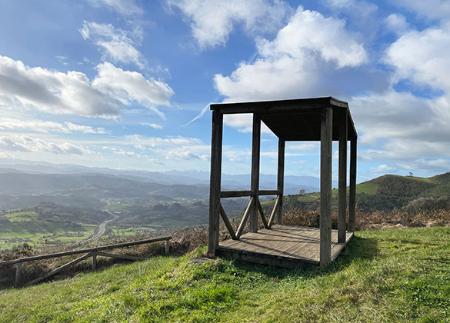
Noreña to La Felguera de Noreña Route

- Noreña, La Felguera (Noreña) Central Asturias
- Distance: 10.54 kms
- Difficulty: Easy
- Cumulative difference in altitude: +245 m
- Cumulative difference in altitude: --245 m
- Maximum altitude: 370.5 m
- Minimum altitude: 190.08 m
- IBP index: 41
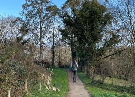
The route takes about three hours in total between the outward and return journey and climbs to an altitude of 370 metres along paths and country roads with beautiful panoramic views of the centre of Asturias.
The route starts in the heart of the Villa Condal de Noreña, starting from the Town Hall, where you can also leave your car. With the bandstand on the left, the path enters the town centre, crossing the Plaza de la Constitución and the Plaza de la Cruz before continuing along the Calle de Pedro Alonso. After approximately 450 metres, the path forks and the route turns off to the left to connect with Camino del Peregrino street.
Continuing along this route, some 300 metres further on, turn right onto Calle de las Cabañas. This section continues until reaching kilometre 1.35, at which point we must proceed with caution to cross the AS-246 road and join the path just in front of us. On reaching kilometre 1.8, the route splits again, opting for the right-hand branch to continue in a straight line towards the picturesque village of Espiniella, which is reached at kilometre 2.2.
Once in Espiniella, the path turns off to the left and continues for another 300 metres. The path then makes two consecutive turns: first to the right and then to the left. From here on, the direction is straight ahead, ignoring the various crossroads along the way, until you reach kilometre 3.7. At this point, the route crosses the AS-I through a tunnel, a key point on the route.
On leaving the tunnel, the route continues parallel to the AS-I road. A few metres further on, turn right to enter the village of Celles/Ceis, which is reached at kilometre 4.3. The last part of the route begins when leaving the village, and at the first junction, after 4.7 kilometres, take the path on the left. Shortly after this turn-off you reach the final destination, Felguera de Noreña, which offers magnificent views of the region.
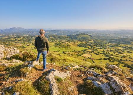
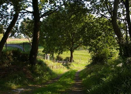
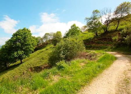
Along the route you can see rural landscapes of pastures, scrubland and small livestock farms, with the imposing Aramo as a backdrop.
This is a simple, low-difficulty rural route that crosses the town of Noreña and from where you can see beautiful views of the region.
Basic tips before heading out into the mountains
- If you’re taking a dog with you , always keep it on a lead.
- Avoid approaching livestock.
- If you come across mastiffs guarding livestock, do not approach them, stroke them or feed them. Do not allow them to follow you or stray from their herd. They are working.
- Leave no trace. Pick up all your rubbish, including organic waste. Nature is not a rubbish tip.
- Be sensible. Plan your route carefully, take everything you need and make sure it’s suitable for your fitness level.
 Further recommendations for planning your route
- Please note: The route description is for guidance only and reflects the conditions of the route at the time of writing. The condition of the paths, their accessibility and signposting may vary over time due to natural causes, maintenance work, access restrictions or other circumstances. Before setting off, it is advisable to check the current conditions of the route, consult the weather forecast and assess whether it is suitable for each person’s experience and physical fitness.