Paths of Tuilla

- Distance: 12.68 kms
- Difficulty: Difficult
- Cumulative difference in altitude: +683 m
- Cumulative difference in altitude: -683 m
- Maximum altitude: 687 m
- Minimum altitude: 255 m
- IBP index: 68
- Modality: Hikers
- Type of route: Circular
- Route type: Mountain
- Return by Train: No
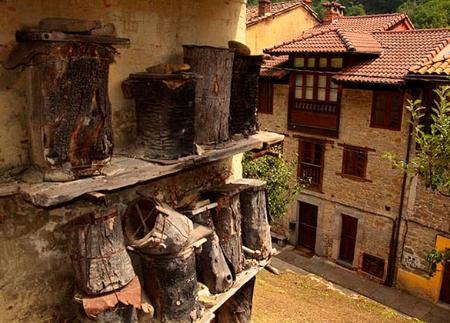
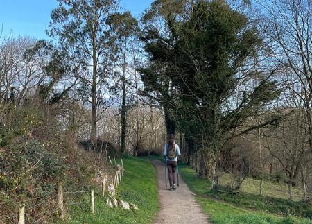
Starting and finishing in the village of La Braña, this itinerary allows you to discover springs, washing places, old mills, viewpoints and the remains of mining operations, in a mid-mountain environment full of contrasts and memory.
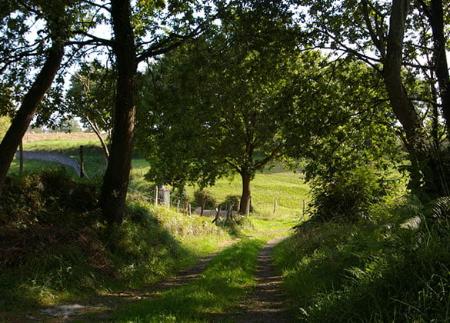
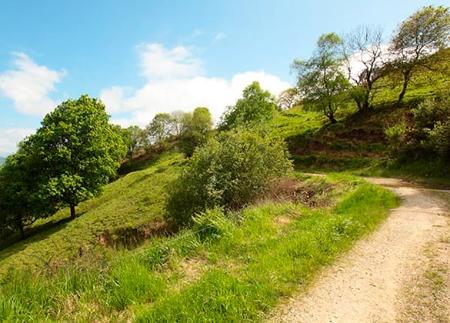
The path starts at the small recreational area of La Braña, located just over a kilometre from Tuilla/Tuiya, and gradually climbs through meadows and areas of mid-mountain vegetation until it reaches Montellerón, where the spring of the same name is located. This first stretch, with a comfortable climb and open views, anticipates the pleasant nature of the route, marked by the constant presence of elements of the local cultural landscape.
The route continues to El Ciacal, where there is a traditional washing place and a cast iron fountain from 1825, an ethnographic ensemble that recalls the daily life of these villages. From here, the trail continues to the Mirador del Peruano viewpoint, located on the geodesic vertex of Picu Ceacal, one of the most outstanding natural balconies on the route, with wide panoramic views of the centre of Asturias.
From this point, the route enters the industrial past of the area, crossing an old mining operation that bears witness to the historical importance of mining in the valley. The path then climbs towards the Llorinte mountain range, a ridge with small lakes, rocky areas and steep cliffs that add variety to the landscape.
Following the line of the mountain range in an east-west direction, it is possible to take a detour towards the lagoons of Braña del Río, one of the most unique spots on the route, before continuing towards El Mayáu Solís. From there, the descent begins towards Baeres Riba and then towards Baeres, crossing the village and its traditional paths.
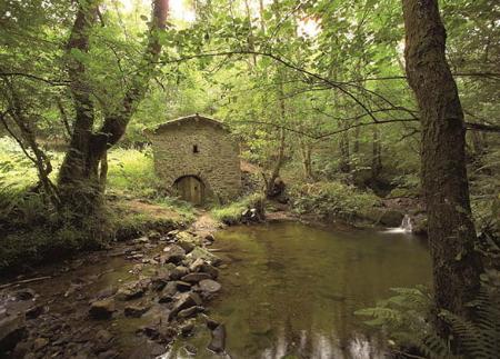
The final stretch runs alongside the Molín de Rozou, a traditional construction that adds ethnographic value to the walk. After crossing several paths and a final climb, the path returns to La Braña, ending next to the village swimming pool.
With a combination of rural heritage, mining history, open landscapes and mid-mountain nature, the Tuilla Trails offer a varied and accessible route, perfect for those seeking to connect with the environment and the memory of inland Asturias.
- PR-AS 43
Basic tips before heading out into the mountains
- If you’re taking a dog with you , always keep it on a lead.
- Avoid approaching livestock.
- If you come across mastiffs guarding livestock, do not approach them, stroke them or feed them. Do not allow them to follow you or stray from their herd. They are working.
- Leave no trace. Pick up all your rubbish, including organic waste. Nature is not a rubbish tip.
- Be sensible. Plan your route carefully, take everything you need and make sure it’s suitable for your fitness level.
 Further recommendations for planning your route
- Please note: The route description is for guidance only and reflects the conditions of the route at the time of writing. The condition of the paths, their accessibility and signposting may vary over time due to natural causes, maintenance work, access restrictions or other circumstances. Before setting off, it is advisable to check the current conditions of the route, consult the weather forecast and assess whether it is suitable for each person’s experience and physical fitness.