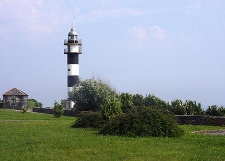
Tapia - Arnao Beach (Castropol)

- Serantes, Tapia Western Asturias
- Distance: 15 kms
- Difficulty: Easy
- Cumulative difference in altitude: +117 m
- Cumulative difference in altitude: -118 m
- Maximum altitude: 30 m
- Minimum altitude: 3 m
- IBP index: 40
- Modality: Hikers
- Type of route: Crossing
- Route type: Coast
- Return by Train: No
Along the route, you will cross beaches such as Penarronda and Santa Gadea, natural viewpoints and the Arnao Wetland, in a route that combines nature, sea and geological heritage.
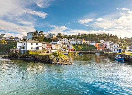
The Tapia-Arnao Coastal Path begins in Tapia, a picturesque fishing village known for its beautiful coastline. The route starts following the route of the Camino de Santiago de la Costa, taking Anguileiro beach as a reference point and moving westwards parallel to the coastline. During this first section, the path offers magnificent views of the Cantabrian Sea from natural viewpoints such as the Mirador de la Guardia and the Mirador de los Cañones.
The path continues towards the surroundings of A Ribeiria beach, passing through Las Furadas, El Murallón and Los Campos, each of these beaches with their own charm and unique geological characteristics. As you leave the town of Tapia behind, the path enters a more open landscape, where green meadows contrast with the line of steep cliffs that outline the coast.
Moving westwards, the route reaches the beach of Santa Gadea, a sandy area that offers spectacular views of the islets of Pantorgas, a refuge for seabirds such as shags and oystercatchers. From this point, the route enters a succession of coves and beaches, including Peñarronda, an extensive stretch of sand declared a Natural Monument for its dune system and protected coastal flora. The beach is also known for the presence of otters in the stream that flows into the sandy area, a fact that adds a singular faunistic value to the surroundings.
The path continues towards the Penarronda recreational area, equipped with wooden walkways that facilitate transit and allow you to enjoy the landscape without causing a negative impact on the ecosystem. After crossing this area, the path heads towards the Arnao Wetland, an enclave of great ecological value where birds find refuge in its calm waters.
In the final part of the route, the path approaches Arnao Beach, a geological jewel in which the coral fossils stand out, vestiges of ancient reefs that have been exposed by the erosive action of the sea. The sandy area is framed by cliffs and a small dune system, offering an ideal place to rest after the walk.
This coastal path, of low difficulty and well signposted, allows you to enjoy the western coast of Asturias at its best, connecting two emblematic points on a route that combines natural heritage, history and seafaring culture.
- It runs partially through the Biosphere Reserve Río Eo, Oscos and Terras de Burón, through the ZEC and ZEPA Ría del Eo and ZEC and ZEPA Penarronda-Barayo of the Natura 2000 Network.
- The route coincides partially with the GR-204.
Basic tips before going into the mountains
- If you go with a dog, always keep it on a leash.
- Avoid approaching livestock.
- If you find mastiffs protecting livestock, do not approach them, do not pet them and do not feed them. Do not allow them to follow you or stray from their herd. They are working.
- Don't leave a trail. Collect all your waste, including organic waste. Nature is not a dumping ground.
- Act with prudence. Plan your route well, take everything you need and make sure it is adapted to your physical capacity.