Ruta Puerto de Agüeria

- Ḷḷindes Centro de Asturias
- Distancia: 11,53 kms
- Dificultad: Dura
- Desnivel acumulado: +753 m
- Desnivel acumulado: --753 m
- Altitud máxima: 1546.35 m
- Altitud mínima: 927.95 m
- IBP index: 80
- Modalidad: Montañeros
- Tipo recorrido: Ida y vuelta
- Tipo de ruta: Montaña
- Retorno en Ferrocarril: No
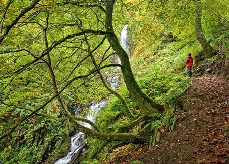
La senda discurre entre bosques de acebos y ante grandes riscos con impresionantes cortados. Una experiencia de senderismo para los más atrevidos que combina desafío con paisajes impresionantes y nos conecta con la tradición ganadera de la alta montaña.
El Puerto de Agüeria es conocido por constituir, posiblemente, uno de los lugares de la Península con mayor número de acebos, una especie amenazada que encuentra refugio aquí, entre Peña Rueda, al norte y Las Ubiñas, al sur.
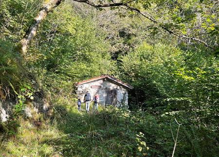
La ruta comienza en el pueblo de Ḷḷindes, en el concejo de Quirós, en cuyo aparcamiento podremos dejar el coche y donde encontraremos la señalización que marca el inicio de la ruta.
Tras caminar aproximadamente 1,3 kilómetros, el camino comienza a volverse más empinado, adentrándose en un hermoso y frondoso hayedo. Aquí, el desnivel se acentúa, invitándonos a regular el ritmo y a disfrutar del paisaje.
Cuando hayamos recorrido cerca de 2 kilómetros desde el inicio, llegaremos a la zona conocida como El Colláu. Desde este punto estratégico, se abre ante nuestros ojos la imponente Foz Grande, un desfiladero natural encañonado entre dos colosos rocosos: Peña Rueda y Peña Arpín. Medio kilómetro más adelante, encontraremos una desviación a la derecha que nos llevaría a la cumbre de Peña Rueda; sin embargo, para esta ruta, continuaremos todo recto.
Una vez dejado atrás El Colláu, nos encontraremos inmersos en la Foz Grande. El camino discurre encañonado en este majestuoso paisaje. Cruzaremos el río por primera vez aproximadamente en el kilómetro 3 de la ruta, y volveremos a cruzarlo cuando alcancemos el siguiente kilómetro.
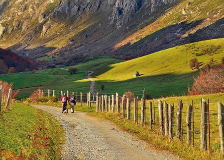
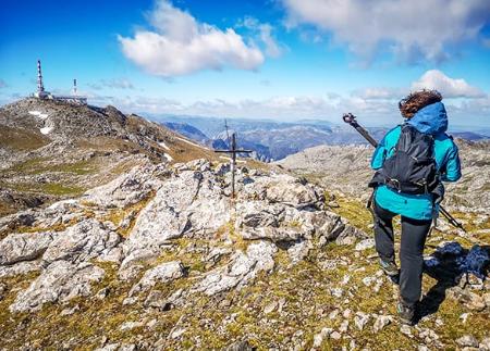
Al llegar al kilómetro 5, habremos dejado atrás la Foz Grande y llegaremos a una zona de amplias praderías verdes rodeadas por un anfiteatro de impresionantes montañas. Este es el punto final de nuestra ruta. Una zona de incomparable belleza que nos ofrece unas preciosas vistas del macizo de las Ubiñas.
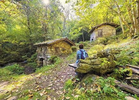
Alcanzar el Puerto de Agüería no solo nos permitirá de disfrutar de unas espectaculares vistas sino que nos conectará con la tradición ancestral de llevar el ganado a los montes (puertos), verano tras verano, para aprovechar los ricos pastos de las zonas altas, mientras en los valles curaban la hierba para llenar los pajares para el invierno.
Después de tomarnos un descanso en este entorno natural privilegiado, regresaremos a Ḷḷindes siguiendo el mismo camino.
Consejos básicos antes de salir a la montaña
- Si vas con perro, llévalo siempre atado.
- Evita acercarte al ganado.
- Si encuentras mastines protegiendo al ganado no te acerques, no les acaricies ni les des comida. No permitas que te sigan ni se alejen de su rebaño. Están trabajando.
- No dejes huella. Recoge todos tus residuos, incluidos los orgánicos. La naturaleza no es un vertedero.
- Actúa con prudencia. Planifica bien la ruta, lleva todo lo necesario y asegúrate de que se adapta a tu capacidad física.