Senda Verde San Martín de Oscos

- Samartín, village of Louxedo Western Asturias
- Distance: 7.1 kms
- Difficulty: Easy
- Cumulative difference in altitude: +365 m
- Cumulative difference in altitude: -365 m
- Maximum altitude: 803 m
- Minimum altitude: 635 m
- IBP index: 33
- Modality: Families
- Type of route: Circular
- Route type: Mountain
- Return by Train: No
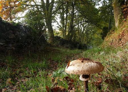
Among fountains, washing places and old mines, this route shows the rural essence of the Oscos, with wide views over mountains, meadows and villages.
The route begins by ascending to the highest part of Samartín, a natural viewpoint that offers one of the most impressive views of the surrounding area. From here, the landscape unfolds in a mosaic of green meadows, native forests and villages that blend harmoniously into the mountains.
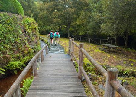
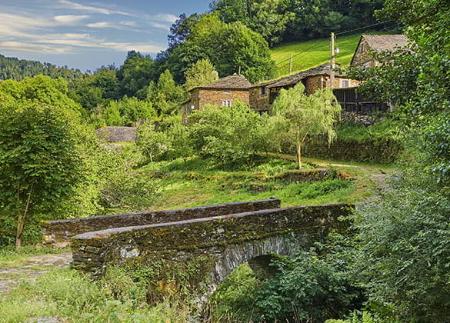
Shortly after, we arrive at the Abraira recreational area, where we find a fountain ideal for refreshing ourselves before continuing. From this point, the path zigzags down through dense oak and chestnut forests until it reaches a particularly charming spot: a small bridge over a crystal-clear stream. The sound of the water and the lush vegetation create a calm atmosphere that invites you to pause and enjoy the surroundings.
After crossing the stream, the path ascends until it joins the road that leads to Louxedo and Vilamañe, stretches where it is advisable to take extreme caution. From this point, the horizon widens, offering spectacular views of a landscape dominated by forests, meadows and small villages, reflecting the beauty of rural life in the mountains.
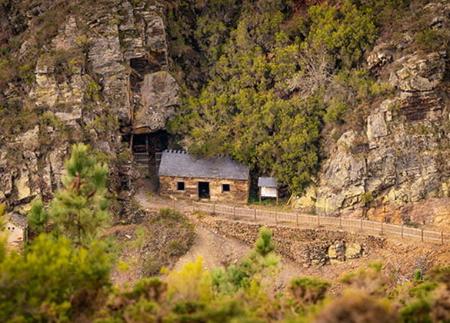
The route first crosses Louxedo and then Vilamañe, allowing you to appreciate the traditional architecture and the leisurely pace of these villages. From here, the route goes back into the forest, where at some points you can enjoy beautiful panoramic views. Along the way, you will come across La Trapela, an old fountain with a washing place that has preserved its original structure and evokes the daily life of yesteryear.
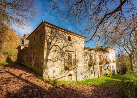
In its final stretch, the path again offers views of the village of Samartín, descending gently until it crosses the AS-13 road. Before concluding the route, we pass by a livestock farm and enter the neighbourhood of El Penedo, where we find Cabeza da Vila, a majestic 17th century manor house.
This walk, full of history and natural beauty, invites you to discover the essence of San Martín de Oscos and its unforgettable landscapes in an accessible and charming route.
- It runs through the Biosphere Reserve Río Eo, Oscos e Terras do Burón.
- PR-AS 243
- Water fountain in the recreational area
- Road sections
Basic tips before going into the mountains
- If you go with a dog, always keep it on a leash.
- Avoid approaching livestock.
- If you find mastiffs protecting livestock, do not approach them, do not pet them and do not feed them. Do not allow them to follow you or stray from their herd. They are working.
- Don't leave a trail. Collect all your waste, including organic waste. Nature is not a dumping ground.
- Act with prudence. Plan your route well, take everything you need and make sure it is adapted to your physical capacity.