Route of the Castros

- El Mazo Western Asturias
- Distance: 16.13 kms
- Difficulty: Difficult
- Cumulative difference in altitude: +798 m
- Cumulative difference in altitude: -798 m
- Maximum altitude: 724 m
- Minimum altitude: 118 m
- IBP index: 76
- Modality: Hikers
- Type of route: Circular
- Route type: Mountain
- Return by Train: No
The path climbs up to Penácaros Peak (733 m), where the Penácaros Tumuli are located, evidence of ancient settlements. A journey back to prehistoric times and discover the traces of the first settlers of Asturias.
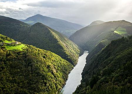
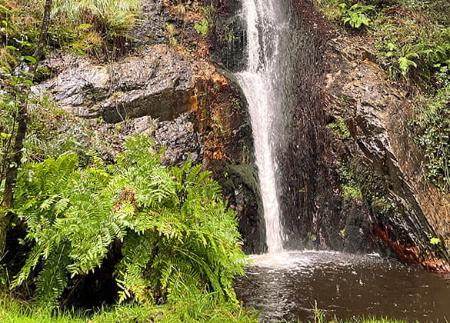
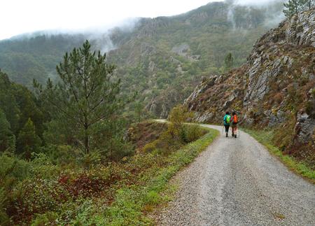
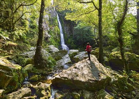
The route starts at the Casa de la Apicultura, in El Mazo, and runs through a varied landscape that combines native forests, abandoned villages and historical remains. Along the route, dirt tracks, mountain paths and stretches of road alternate, offering an itinerary in which natural beauty contrasts with the rich cultural heritage of the area.
From the Casa de la Apicultura, the route enters El Mazo and takes a dirt track that descends through a leafy riverside forest. This shady and cool section follows the course of the Pendia stream, which marks the bottom of the valley. After crossing it, we advance towards the village of As Viñas and, further on, we reach the abandoned hamlet of Riumayor, where we can still see the remains of old dwellings and a stone quarry, used in the past for stone extraction.
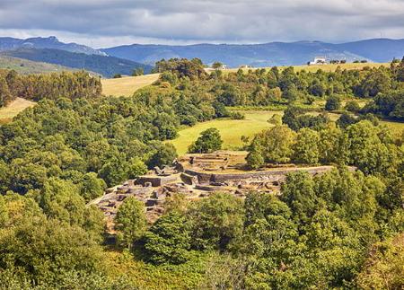
From here, the route continues to the village of Arbededo, where we join the local road towards Pendia. This stretch, practically flat and without difficulty, leads us to the Pendia Hillfort, a site excavated in the 1940s by the archaeologists Antonio García y Bellido and Juan Uría Ríu.
After exploring the hillfort, the most demanding part of the route begins. The path climbs progressively from the castro to the Villanova cemetery, the point where it begins a stretch with a steeper slope. The climb continues up the mountain until it reaches an altitude of 733 metres at Pico Penácaros. Near its peak, we find the Penácaros Tumuli, ancient remains that reveal the existence of prehistoric settlements in the area.
From this point, the route descends towards the recreational area of Llaviada and follows a path that leads to the village of As Cabanas.
The route continues in the direction of El Sarredo, where, after leaving the houses behind, the path begins a zigzagging descent through a meadow, which takes us back to El Mazo, thus completing a circular route that combines nature, archaeology and impressive mountain scenery.
- PR-AS 249
- Road sections
- Sloping sections
Basic tips before going into the mountains
- If you go with a dog, always keep it on a leash.
- Avoid approaching livestock.
- If you find mastiffs protecting livestock, do not approach them, do not pet them and do not feed them. Do not allow them to follow you or stray from their herd. They are working.
- Don't leave a trail. Collect all your waste, including organic waste. Nature is not a dumping ground.
- Act with prudence. Plan your route well, take everything you need and make sure it is adapted to your physical capacity.