Navia River Viewpoints Route

- Boal/Bual Western Asturias
- Distance: 11.48 kms
- Difficulty: Moderate
- Cumulative difference in altitude: +542 m
- Cumulative difference in altitude: -542 m
- Maximum altitude: 279 m
- Minimum altitude: 35 m
- IBP index: 60
- Modality: Hikers
- Type of route: Circular
- Route type: Mountain
- Return by Train: No
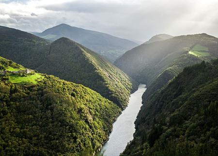
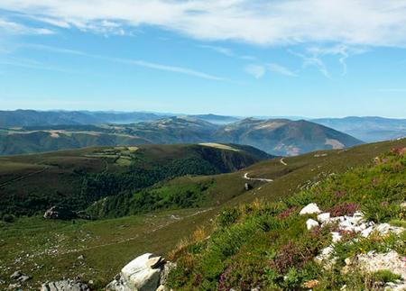
From here, the trail offers spectacular views of the river Navia and its reservoir, passing through Piñeira, Doiras and Silvón, and connecting nature, history and heritage in a unique setting.
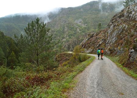
The route starts at the recreational area "Puente de Castriyón", a strategic point that invites you to enjoy the surroundings before starting the route. From here, the path passes a small jetty, where the river Roginos offers an attractive starting point. After a brief pause in this fluvial environment, the route begins an ascent with views of the river Navia, the bridge that crosses it and the village of Castriyón.
The path gains height with a 300-metre climb that leads to the village of Piñeira, where asphalt makes its first appearance. Along the route, this type of section alternates with dirt tracks, so it is important to respect the traffic rules at all times.
On crossing Piñeira, we leave the asphalt and take a wide path that enters a wooded area. Further on, after another short asphalted stretch, we reach the Berdín palace, an 18th century building, whose courtyard and annexed buildings can be seen from the outside.
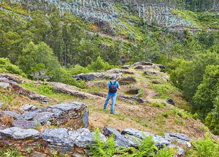
Continuing along the path, we reach the village of Doiras, where the houses are arranged on the mountainside, creating a typical picture of the area. Here, it is possible to make a short detour to visit the Church of Santa María Magdalena, a temple of great historical and cultural value. As we advance, we first pass by the old school and then arrive at the Doiras hydroelectric power station, inaugurated in 1934. This key point on the route offers impressive views of the reservoir and the valley, allowing us to observe the magnitude of the accumulated water.
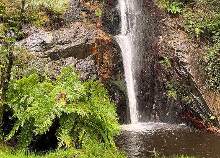
After crossing the Doiras reservoir, the trail continues through meadows and mountainous areas, offering the opportunity to enjoy the local flora and fauna. The route ascends again to Silvón, where we find the hermitage of San Juan. As we climb, the panoramic views of the river Navia become more and more spectacular.
The return, along the opposite bank of the river Navia, allows us to discover a new perspective of the landscape. Finally, we cross the Castriyón bridge again to return to the recreational area, completing a route that not only offers landscapes of great beauty, but also connects the walker with the history and heritage of the area.
- Road sections
- PR-AS 209
Basic tips before going into the mountains
- If you go with a dog, always keep it on a leash.
- Avoid approaching livestock.
- If you find mastiffs protecting livestock, do not approach them, do not pet them and do not feed them. Do not allow them to follow you or stray from their herd. They are working.
- Don't leave a trail. Collect all your waste, including organic waste. Nature is not a dumping ground.
- Act with prudence. Plan your route well, take everything you need and make sure it is adapted to your physical capacity.