La Pola–Gamoniteiru


- La Pola
- Distance: 15 kms
- Difficulty: Muy Dura
- Total ascent: 1511 m
- Maximum altitude: 1770 m
- Minimum altitude: 305 m
- IBP index: 173
- Mythical mountain passes
- Type of bicycle: Road
- Type of route: Linear
- Return by Train: No
The Gamoniteiru (1,770 m) is one of the most iconic peaks in the Sierra del Aramo, alongside the Angliru (1,573 m). The climb from La Pola involves a total elevation gain of around 1,500 metres over 15.1 kilometres, making it a very demanding challenge on a par with the colossal stages of the Giro or the Tour.
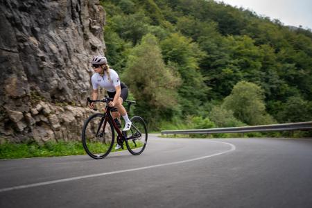
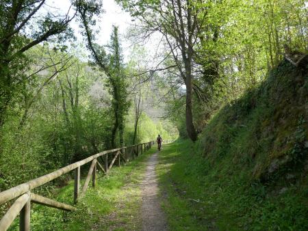
The first 9 kilometres follow the same route as the climb to the Collada de La Cobertoria. On this initial stretch, the average gradient is around 9.7 per cent, with some sections exceeding 11 per cent, all set against a backdrop of dense beech and oak forests.
About one kilometre before reaching the Alto de La Cobertoria, a junction marks the turn-off towards the summit of Gamoniteiru. From this point onwards, the road narrows, eventually becoming a tarmac track, and the route becomes more winding. The gradient increases significantly, exceeding 10 per cent for most of the remaining route.
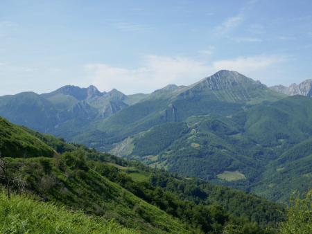
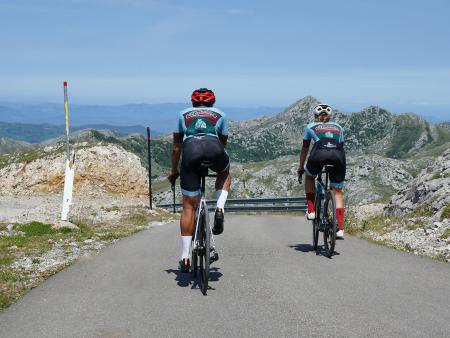
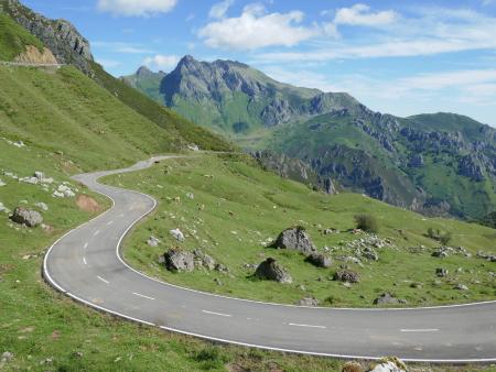
The final kilometres are the toughest, with gradients reaching 15 per cent and even 17 per cent in the final stretch. The landscape changes radically in this area; the tree cover disappears, giving way to a high-mountain environment dominated by limestone. Once at the summit, the effort is rewarded by the breathtaking panoramic views, taking in the Nalón Basin and the Quirós Valley.
It is worth noting that it is common to tackle the climb to La Cobertoria first before tackling the gradients of Gamoniteiru.