Mexica Waterfall

- Ponticella Western Asturias
- Distance: 3.9 kms
- Difficulty: Easy
- Cumulative difference in altitude: +302 m
- Cumulative difference in altitude: -302 m
- Maximum altitude: 367 m
- Minimum altitude: 82 m
- IBP index: 39
- Modality: Hikers
- Type of route: Round trip
- Route type: With waterfall
- Return by Train: No
An easy route that combines nature, history and mystery, ideal for those looking for a walk full of charm.
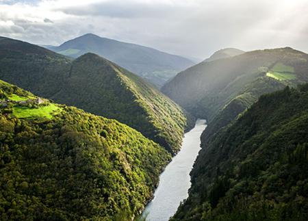
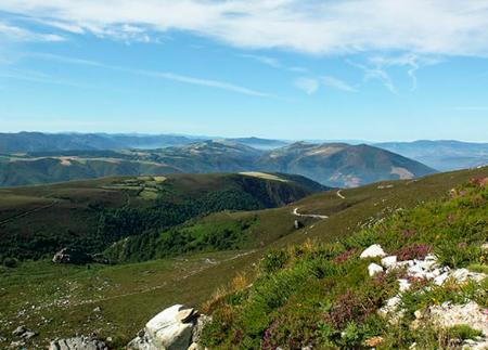
The route starts in Ponticella, where it is possible to visit the church before starting the walk. The first section descends gently towards the meadow of Las Cellas, and then enters a mixed forest dominated by birch and strawberry trees. The strawberry trees, with their bright red fruit, add a touch of colour to the landscape, while the birch trees, with their slender white trunks, create a feeling of freshness and lightness. As you go along, small pine plantations also appear, contrasting with the native trees and reflecting human intervention in the environment.
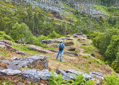
Along the path, we find botanical curiosities, such as the Phallus impudicus mushroom, known for its peculiar shape and characteristic smell. This fungus, present in damp and shady areas, is an indicator of the ecological richness of the forest, adding a special interest to the route for nature lovers.
The sound of water begins to become more present as we advance. The path descends further and further, becoming steeper and with uneven ground, while the murmur of water becomes a constant accompaniment. The humidity of the atmosphere increases and the vegetation thickens, with ferns and mosses covering the ground and tree trunks, creating an environment of great beauty.
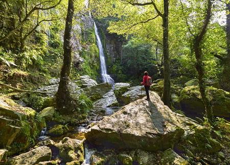
Finally, we arrive at the Méxica waterfall, a waterfall that falls over a small pond surrounded by vegetation. Although it is not very high, the waterfall stands out for its setting, with a narrow torrent of water flowing down the rocks and forming a liquid veil in the middle of the forest. This idyllic spot, where nature seems to whisper ancient stories, is shrouded in a mysterious legend.
It is said that beneath the cave where the water rushes down there is a golden palace, home to a Moorish king and his two enchanted golden-haired daughters. A Moorish prince, captivated by their shimmering manes, fell in love with both of them, arousing jealousy between the sisters. One of them, consumed by envy, cut off her sister's hair and threw it into the river, creating with her golden hair the waterfall we see today. The prince, marvelling at the beauty of the waterfall and moved by the kindness of its original owner, rejected the treacherous sister and betrothed the golden-haired one.
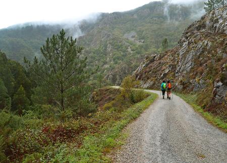
The return is along the same path, allowing you to rediscover the landscape from a different perspective. The ascent, except for the first steepest stretch with uneven terrain, is gentle and bearable, making the route suitable for hikers of all levels, including those looking for an easy and relaxing walk. On the way back, you can again appreciate the forest features and stop to observe the local flora and fauna more closely.
The route to the Méxica waterfall not only allows you to enjoy a natural environment of great beauty, but also immerses the hiker in a magical atmosphere, where legend and nature intertwine in a corner full of charm and mystery.
- Road sections
Basic tips before going into the mountains
- If you go with a dog, always keep it on a leash.
- Avoid approaching livestock.
- If you find mastiffs protecting livestock, do not approach them, do not pet them and do not feed them. Do not allow them to follow you or stray from their herd. They are working.
- Don't leave a trail. Collect all your waste, including organic waste. Nature is not a dumping ground.
- Act with prudence. Plan your route well, take everything you need and make sure it is adapted to your physical capacity.