Gorfoli Greenway - Frieras Peak

- Taborneda Central Asturias
- Distance: 8.2 kms
- Difficulty: Moderate
- Cumulative difference in altitude: +393 m
- Cumulative difference in altitude: -393 m
- Maximum altitude: 621 m
- Minimum altitude: 209 m
- IBP index: 49
- Modality: Hikers
- Type of route: Round trip
- Route type: Mountain
- Return by Train: No
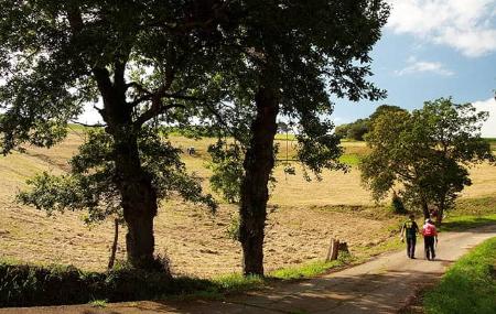
Along the route, the walker travels along wide and well signposted paths, crossing wooded areas, open areas with panoramic views and climbing up to Pico Friera, all in an environment that reflects the natural wealth of the centre of Asturias.
The route begins next to the chapel of San Antolín, next to the Taborneda road, where a wide track starts the ascent towards Llanos de Arriba. This rural village preserves the traditional character of the area and marks the beginning of the most demanding section of the route. On leaving the village, the route continues along a concrete track that ascends towards the slope of the peak, passing a fountain on the right of the path, ideal for a short break before the steepest section.
In this first part of the ascent, there is a small rest area next to a viewpoint from where you can contemplate the first panoramic views of the surroundings. A little further on, the slope becomes gentler and there is a flat stretch along the hillside from where you can see Cerro Braña.
A little further on the route forks. Taking the right branch, a narrower and more natural path ascends directly to the summit of Friera peak. This peak is home to several communications antennas, but it also offers one of the best views in the region: from here we can see the whole of the Avilés region, including the estuary, and to the south all the villages of Llanera and even Oviedo.
The Friera peak (623 m), together with the Gorfolí peak (618 m), forms part of the main pre-coastal mountain range of the central Asturian area: the Bufarán and Pedroso mountain ranges. This mountain range stretches northeast-southwest from these peaks to the Peñaflor gorge, cut by the Nalón river. Its transversal axis with respect to the river establishes the administrative division between the councils of Las Regueras (to the east) and Candamo (to the west), as well as between Illas (to the north of the mountain range) and Grado (to the south), highlighting both its scenic and geographical value.
On the way back, you can choose to retrace the same route or take an alternative path that goes around the north and west slopes of Friera peak. This variant, which is more comfortable and progressive, rejoins the concrete track at the first pass, from where it descends to Llanos de Arriba and, finally, to the starting point.
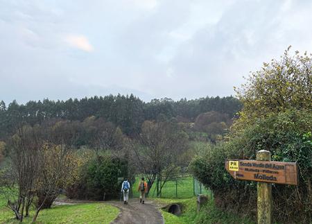
The Senda Verde del Gorfolí is an accessible route for medium level walkers, ideal for enjoying the changing landscape between forests, high pastures and open views, in one of the quietest and most pleasant areas in the surroundings of Avilés.
Basic tips before going into the mountains
- If you go with a dog, always keep it on a leash.
- Avoid approaching livestock.
- If you find mastiffs protecting livestock, do not approach them, do not pet them and do not feed them. Do not allow them to follow you or stray from their herd. They are working.
- Don't leave a trail. Collect all your waste, including organic waste. Nature is not a dumping ground.
- Act with prudence. Plan your route well, take everything you need and make sure it is adapted to your physical capacity.