Trigueiro Peak - Peñamayor Mountains

- Distance: 13.4 kms
- Difficulty: Difficult
- Cumulative difference in altitude: +739 m
- Cumulative difference in altitude: -739 m
- Maximum altitude: 1277 m
- Minimum altitude: 775 m
- IBP index: 72
- Modality: Mountaineers
- Type of route: Circular
- Route type: Mountain
- Return by Train: No
A mid-mountain route, demanding due to its length and gradient, but without technical steps, which allows you to enjoy the essence of the sierra and its recent history.
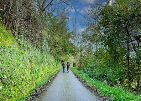
The itinerary begins next to the Fayacaba Hostel, where the path forks and heads first to the right, towards one of the most historically significant sites on the route: the Pozo Funeres, a natural chasm linked to the tragedy of Franco's repression in the post-war period. Here, between March and May 1948, twenty-two guerrillas, militants and collaborators of the anti-Francoist resistance were executed and thrown into the pit, in one of the most atrocious episodes of repression in Asturias. The place, today converted into a place of memory, invites reflection and remembrance.
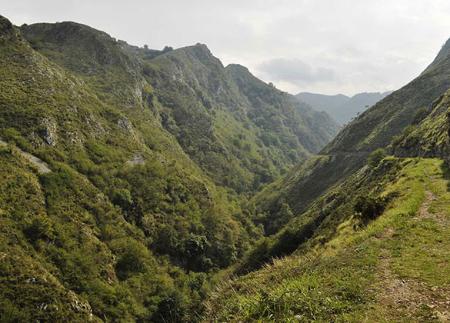
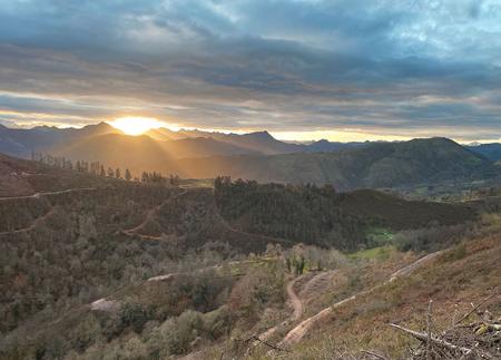
From Pozo Funeres, the path continues upwards towards Pico Tremes, where there is a repeater antenna. At Collado Llagos, a crossroads between mountains that offers open views of the mountains of El Infierno, the Picos de Europa, the Sueve and the valleys of Piloña and Parres, the route turns off towards Pico Trigueiro, whose ascent along a wide, clear ridge affords a 360-degree view of the surrounding valleys and sierras.
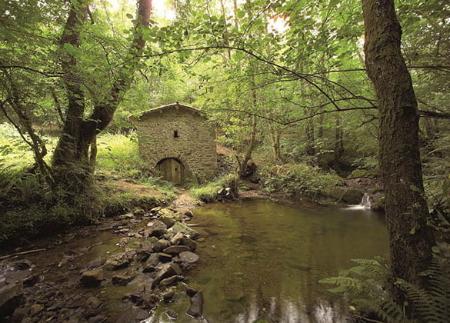
After reaching the summit of Trigueiro, the route descends towards the area of Breza, where the old Breza refuge is located, and continues down to the small enclave of Texíu, which keeps alive the essence of Asturian mountain life. The path continues towards the Campa de Anés, before gaining height again to the Chuncler pass and the Pico Redondo pass, with stretches that skirt the slopes of the mountain range and allow you to continue enjoying the wide views.
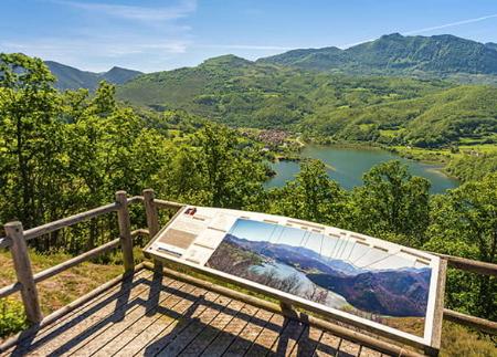
In the last stretch, the path offers the possibility of turning off towards Les Praeres, one of the best known balconies of Peña Mayor and an alternative starting point for those looking for a shorter version of the route. Finally, the route continues along Campa Llonga to Collado de Peñamayor, to close the circle by descending again to the Fayacaba hostel, the starting and finishing point of the route.
The Trigueiro Peak Route is a journey that allows you to discover the geography of the crests and cols of Peña Mayor, combining the enjoyment of the landscape with the memory of the historical events that marked these mountains. An ideal proposal for those looking for mountain hiking with cultural and scenic content, in one of the most authentic corners of central Asturias.
- PR-AS 140
- This route partially coincides with the GR-109.
Basic tips before going into the mountains
- If you go with a dog, always keep it on a leash.
- Avoid approaching livestock.
- If you find mastiffs protecting livestock, do not approach them, do not pet them and do not feed them. Do not allow them to follow you or stray from their herd. They are working.
- Don't leave a trail. Collect all your waste, including organic waste. Nature is not a dumping ground.
- Act with prudence. Plan your route well, take everything you need and make sure it is adapted to your physical capacity.