Las Regueras
- Address Santuyanu
- Distance Distance: 22 kms
- Difficulty Difficulty: Medio
- Total ascent Total ascent: 627 m
- Maximum altitude Maximum altitude: 280 m
- Minimum altitude Minimum altitude: 54 m
- IBP index IBP index: 57
- Route One-day routes
- Type of bicycle Type of bicycle: Gravel
- Type of route Type of route: Circular
- Return by Train Return by Train: No
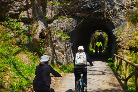
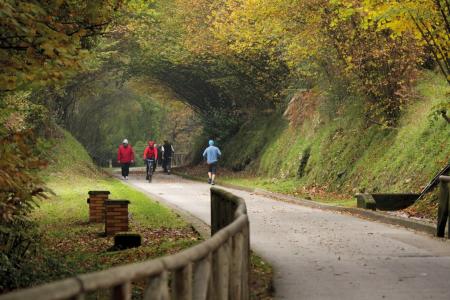
The route begins in the capital of the council, in Santuyanu, and runs northwards and, after a short climb, descends, meeting shortly before Miobra with the river Andallón, in a wetland area that in season is covered with wild flowers.
Further on, the path runs parallel to the river, embedded in a gallery forest, until it crosses the river again and reaches the AS-314 local road.
Continue along the road in a southerly direction until you reach the crossroads and continue along an asphalted track that goes uphill and follows the small ridge of hills between the two rivers that leads to the small rural village of Llazana. From here the tarmac track becomes more uneven and turns into a gravel track until just before Areces, from where we descend towards the river Nalón, following its course upstream to reach Valdunu, where we can visit the excavations of the Roman baths with a short detour.
At Valdunu the route joins the AS-234 regional road and continues along the road ascending first in the direction of Premoñu, and then to Ania to close the itinerary and return to Santuyanu.


