Oviedo – The Bear Trail


- Oviedo/Uviéu, Trubia, Villanueva, Proaza, Bárzana
- Distance: 48 kms
- Difficulty: Fácil
- Total ascent: 655 m
- Maximum altitude: 453 m
- Minimum altitude: 81 m
- IBP index: 31
- One-day routes
- Type of bicycle: Gravel
- Type of route: Linear
- Return by Train: No
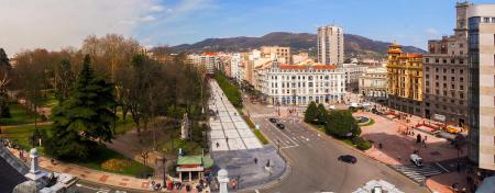
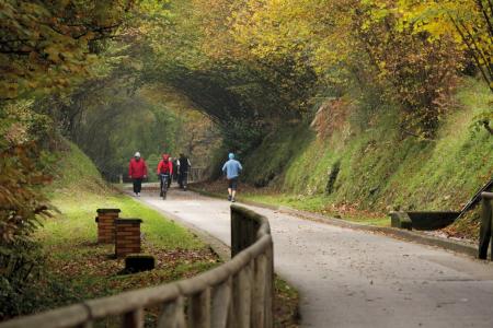
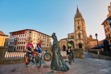
The route starts at Oviedo/Uviéu railway station, from where we wander through the city to reach the start of the Fuso greenway in Invierno Park. It is practically flat, with a gentle downhill gradient, and is well tarmacked. There are places to eat or rest at various points along the way.
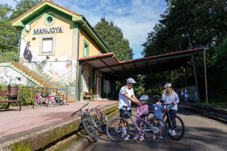
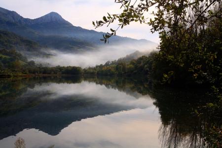
About 3 km from the start of the route, we come to the old La Manjoya station, now the Nature Centre, where we can see the Mostayal peak in the distance, and from here we’ll make our way past bridges and tunnels until we reach the River Nalón, which we cross via the century-old iron bridge, on to the village of Fuso, where the Greenway ends.
We continue towards Caces, with the forest and the river always by our side, and there we take the greenway that runs alongside the Nalón to reach Trubia, where we join the section that connects us to the Senda del Oso.
We now continue on a gentle climb along local roads for approximately 5 km to the small village of San Andrés. From this point, we’ll follow a well-maintained gravel track for about 2.5 km, which takes us to the start of the Senda del Oso in the Tuñón recreation area.
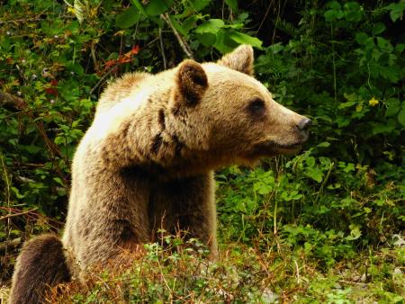
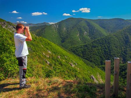
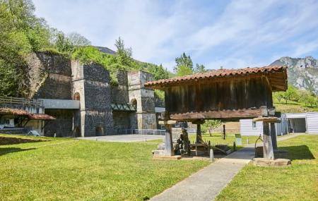
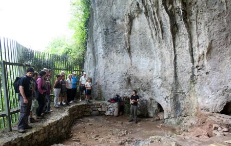
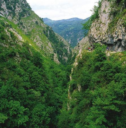
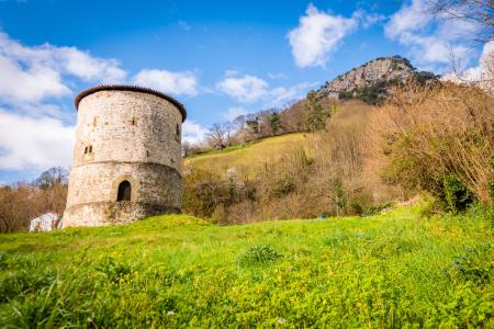
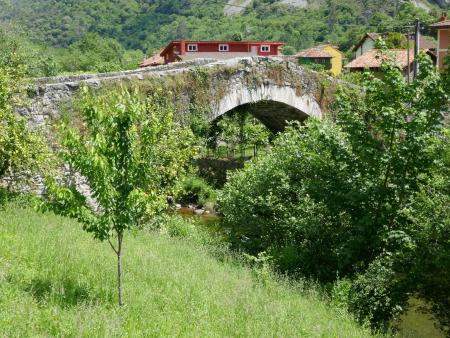
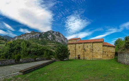
Once on the trail, we’ll pass through charming little villages such as Villanueva, with its beautiful medieval bridge, or Proaza with its iconic tower (this requires leaving the trail and rejoining it later), we’ll be able to visit the bear enclosures, head to the Mirador del Oso viewpoint and pass through gorges such as Peñas Juntas.
Shortly before reaching Caranga Baxu, we come to the junction where the two branches of the Senda del Oso split: one leading to Entragu towards Teverga, and the other heading for Valdemurio in Quirós, which is the one we must take.
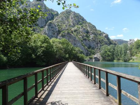
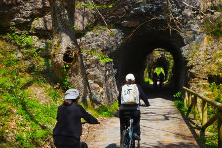
The trail continues, negotiating obstacles and alternating between bridges and tunnels, bringing us closer to the Valdemurio reservoir, where we can optionally continue on to Bárzana by crossing the reservoir footbridge and climbing briefly along the track that cuts through the forest, leading us to our final destination.
Please note that you must plan your return journey in advance, either by organising it yourself or by contacting one of the companies operating in the valley.
It can be carried out in stages
The return journey must be planned