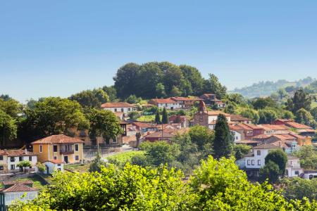
Monte Cayón from L'Infiestu


- L'Infiestu Eastern Asturias
- Distance: 22 kms
- Difficulty: Dura
- Total ascent: 521 m
- Maximum altitude: 563 m
- Minimum altitude: 146 m
- IBP index: 61
- One-day routes
- Type of bicycle: MTB
- Type of route: Circular
- Return by Train: Yes
The route begins next to the gardens of the Plaza del Ganado de L'Infiestu. After enjoying the Indian architecture and the atmosphere of the capital of Piloña, take Calle Covadonga in the direction of the Puente Nuevo (New Bridge), to exit in the direction of the N-634 (Oviedo/Uviéu). As soon as you pass under the viaduct of the N-634, take the track on the right that climbs towards Monte Cayón.
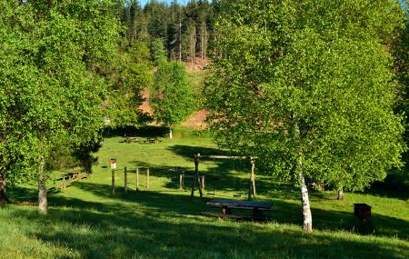
There are three kilometres of constant ascent between groves of trees until you come to the junction, which, turning left, will lead to the Monte Cayón recreational area.
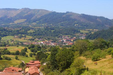
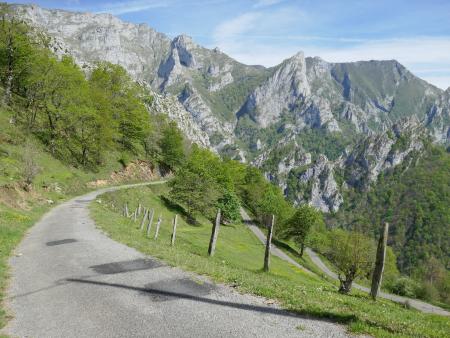
Following the track, the route climbs up to the highest part of the mountain (Pico Fario). Here, next to the telecommunications antennas and the geodesic vertex, the horizon opens up completely. The sensation of freedom is absolute as you contemplate the spectacular landscape and the municipality in 360 degrees. It is a privileged natural viewpoint from which to understand the orography of Piloña before starting the descent down the northern slope.
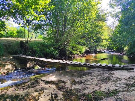
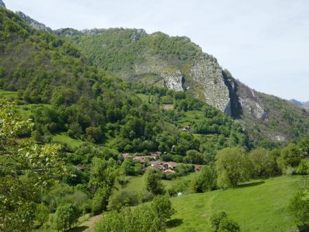
The way down leads to the village of Valles, where you pass by its "chigre", an essential meeting point for local life. From here, take a path to the right to follow a country road where the route becomes more pleasant until you reach the villages of Acebeu and San Román.
The final section returns to the capital of the council by crossing the historic bridge of Pialla, returning to the Plaza del Ganado with the satisfaction of having conquered the summit of Monte Cayón.
In the rainy season there may be muddy areas.
Mostly agricultural track and road.