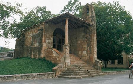
Cangas de Onís–Sobrefoz


- Cangues d'Onís/Cangas de Onís, Sebares, Sellañu, Sobrefoz
- Distance: 47 kms
- Difficulty: Muy Dura
- Total ascent: 1670 m
- Maximum altitude: 666 m
- Minimum altitude: 36 m
- IBP index: 133
- One-day routes
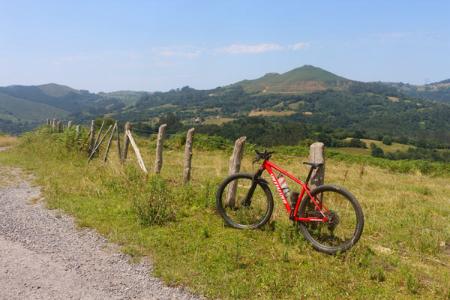
- Type of bicycle: Road
- Type of route: Linear
- Return by Train: No
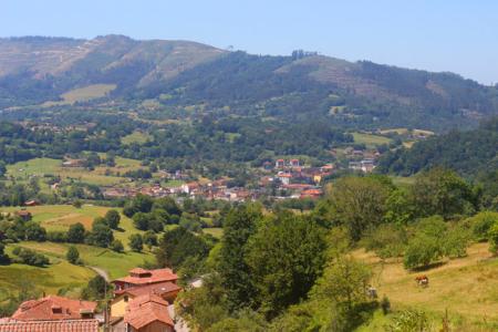
The route begins in Cangues d'Onís/Cangas de Onís, from where you set off towards Sebares.
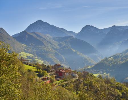
This first section consists of dirt and gravel tracks in good condition, although an alternative route via tarmac-surfaced local roads has also been included for bikes with narrow tyres. Before reaching Sebares, take the turn-off leading to the Collado Moande pass (666 m) via the AS-339 local road, a quiet, narrow and winding track that takes you through a green landscape of native woodland until you reach the pass where the Ponga Natural Park begins.
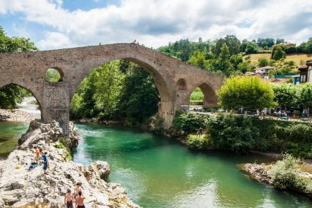
From Collado Moande, the route descends to Cazu and from there to Sellañu, with an increasingly rugged mountainous landscape in the background. From here, the route runs parallel to the River Ponga through the gorge carved out by the river, until it reaches the junction providing access to Sobrefoz. This section has an uneven surface, with potholes at times, which improves in the vicinity of the village of Abiegos and runs through a gallery forest; in the clearings, you can catch a glimpse of the village of San Xuan/San Juan de Beleño, which you will pass through on the next stage. Continuing along the road – which is actually more of a tarmac track – you reach the Foz del Ponga gorge, the gateway to the small hamlet of Yanu, and then arrive at Sobrefoz, in the heart of the Natural Park.