Pesoz-Argul-Bousoño


- Pezós/Pesoz
- Distance: 25 kms
- Difficulty: Muy Dura
- Total ascent: 1009 m
- Maximum altitude: 723 m
- Minimum altitude: 144 m
- IBP index: 116
- One-day routes
- Type of bicycle: MTB
- Type of route: Circular
- Return by Train: No
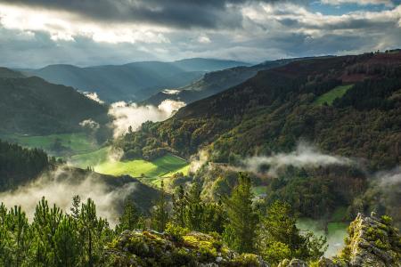
This route, set against the backdrop of the impressive gorge carved by the River Agüeira through the hard quartzite and slate formations, and the River Ahío, which has been harnessed to power water-powered mills, makes use of the network of forest tracks to take in some of the most interesting and little-known spots in the municipality.
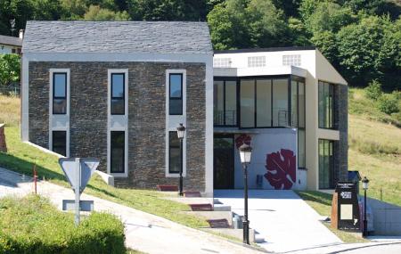
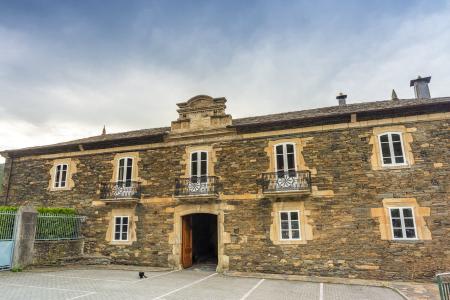
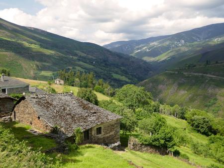
The route begins in Pezós/Pesoz, the capital of the municipality of the same name – which is well worth a visit in its own right – and descends along the AS-12 regional road for one and a half kilometres until it takes the turn-off which, after crossing the Agüeira, leads to the village of Argul. This medieval village, designated a Site of Cultural Interest, is characterised by its unique architecture, with its galleries, tunnels and passageways connecting many of its buildings; the reddish colour of these structures stands out, contrasting with the dark tones of the slate.
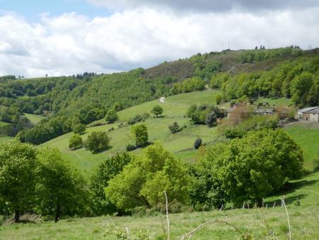
From Argul, the route continues uphill through a network of tracks, passing through sections of native woodland and areas of reforestation until reaching the ‘chaos’ zone, flatter areas that have become pastures in the higher reaches, where the unobstructed views allow you to see the steep-sided valley carved out by the river over time and the villages on the opposite slope, such as Vilabriye and Sanzo.
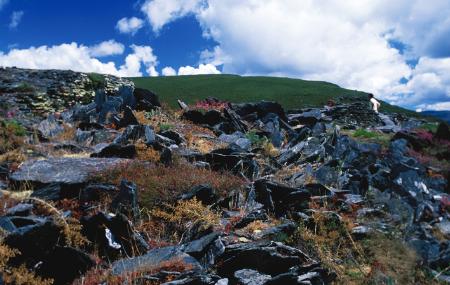
Before beginning the descent, it is worth visiting the Castro de San Isidro, a defensive settlement linked to the surrounding mining operations, and featuring a defensive system characterised by the presence of moats and embedded stones – ‘Frisian walls’ – in successive lines of interlocking vertical slate slabs. The hill fort has been partially excavated and can only be reached on foot.
Continuing along the route, you descend to the nearby hamlet of Bousoño, with its wash house and the chapel of San Miguel, and from there you descend the hillside through the woodland alongside the River Ahío via another forest track to reach the access road to Argul and return to Pezós/Pesoz, where a tour of the village takes you to places such as the Ron Palace, the Church of Santiago and the Ethnological Museum.