Grandas de Salime-Tineo


- Grandas de Salime, Pola de Allande, Tinéu
- Distance: 78 kms
- Difficulty: Muy Dura
- Total ascent: 1865 m
- Maximum altitude: 1146 m
- Minimum altitude: 202 m
- IBP index: 106
- Great route,Ruta de los valles
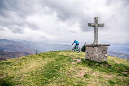
- Type of bicycle: Road
- Type of route: Linear
- Return by Train: No
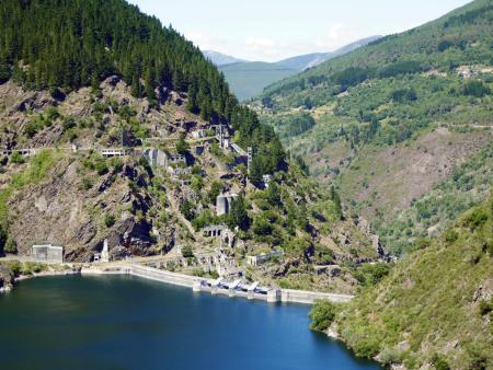
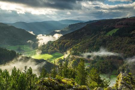
We leave Grandas de Salime and descend towards the Salime reservoir. This majestic work, set between slate slopes, offers us a beautiful landscape that we can enjoy along the way and at the different viewpoints that we will find along the way.
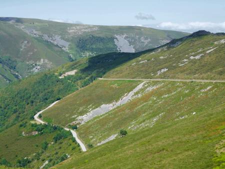
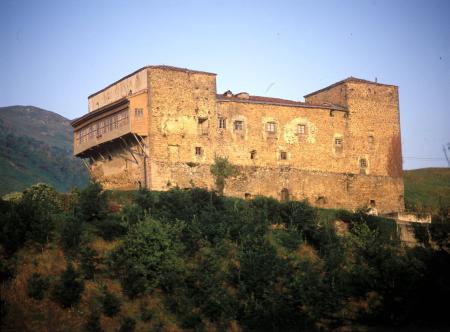
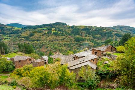
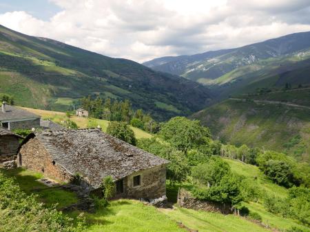
From here begins a 15 km ascent, without steep slopes, to Berducedo, at the foot of Monte de Buspol, a stop for pilgrims on the Primitive Way. From there we continue the ascent for another 10 km until we reach the top of the Palo pass, which offers great views of valleys and mountains. We begin the descent of about 12 km to Pola de Allande, winding the road through a rugged and mountainous area, until we reach the village. The palace of Cienfuegos, La Braña El Campel, and also Roman forts stand out.
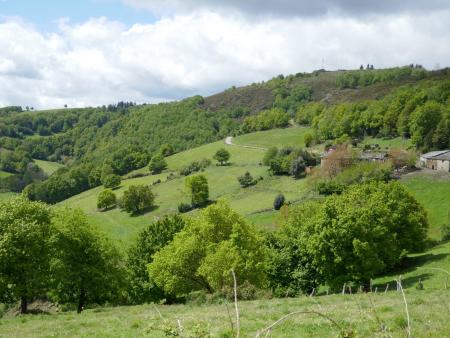
We continue along the AS-217 road, which climbs gently through meadows and an alternation of small autochthonous forests and pine plantations until we reach the village of Peñablanca, where we start to descend for about 15 km to Xera.
The last stretch of about 15 km to Tinéu, has an ascent of 5 km and then flattens out through hillocks of meadows and scattered villages until we reach Tinéu, the capital of the council and the end of our route. Tinéu was an obligatory stop for pilgrims on their way from Oviedo/Uviéu to Santiago de Compostela on the Primitive Way. Declared a Historic Site, its neighbourhoods of Pico la Villa and Fondos de Villa stand out for their examples of Asturian rural and ethnographic architecture, which are not to be missed.
Respect the direction of traffic on urban stretches.