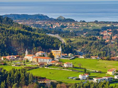
San Martín de Luiña - Los Dolores
The route proposes a route of just over 30 kilometres that starts in San Martín de Luiña and climbs gradually towards the Brañaseca wind farm, in a long but comfortable climb, ideal for enjoying the scenery of the interior of Cudillero.


- San Martín de Luiña
- Distance: 32 kms
- Difficulty: Medio
- Total ascent: 1035 m
- Maximum altitude: 782 m
- Minimum altitude: 36 m
- IBP index: 58
- One-day routes
- Type of bicycle: MTB
- Type of route: Circular
- Return by Train: Yes
The route starts in San Martín de Luiña and heads towards San Cosme to begin the climb up the slopes of the Sierra de los Vientos. The route advances towards the Sierra de Baos y Pumar Wind Farm, overcoming a stretch of steady ascent with wide views. After crowning the area of the Cueto and La Torre Peaks, the route continues along the Sierra del Pumar, briefly entering the municipality of Pravia.
From there it skirts the base of the Llan de Cubel and Carceda peaks before returning to the territory of Cudillero. The descent leads to the villages of Mumayor and Castañedo, linking up again with San Martín de Luiña, the end point of this panoramic route.