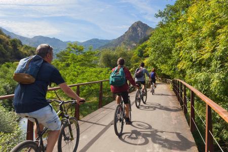
The Caranga–Valdemurio ‘La Senda del Oso’ Greenway


- Caranga Baxu, Caranga Riba
- Distance: 5 kms
- Difficulty: Very easy
- Total ascent: 85 m
- Maximum altitude: 336 m
- Minimum altitude: 249 m
- IBP index: 5
- Family routes
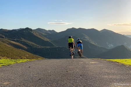
- Type of bicycle: Gravel,MTB
- Type of route: Linear
- Return by Train: No
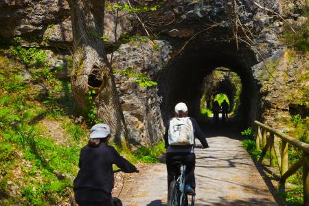
The section begins at the fork in the path, just before Caranga Baxu, where we take the ascending branch on the left, and continues alongside the River Trubia along an open stretch, with a tunnel at the end, before reaching the Valdemurio reservoir.
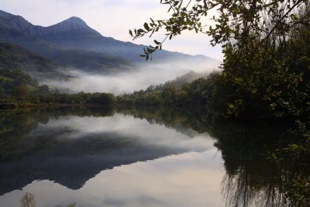
The path winds through a gallery forest, alternating with clearings that offer views of the beautiful landscape, until it reaches the limestone cliff face, now close to Valdemurio, which is crossed by a well-lit tunnel 103 metres long.
Once you reach the reservoir, you can optionally continue on to Bárzana, or even a little further, by crossing the reservoir footbridge and climbing the short ramp that marks the path, then continuing on a gentle ascent for 7.5 km. The views over the reservoir and the valley, with the Sierra del Aramo in the background, are certainly well worth the effort.
This section of the Senda del Oso can be done as a standalone walk, but bear in mind that there is no public transport for the return journey, so you will need to either walk back the same way or contact one of the active tourism companies operating in the area.
Both the outward journey and the return journey must be planned.