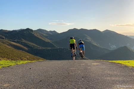
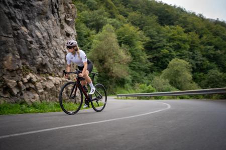
La Senda del Oso Caranga-Entragu Greenway


- Entragu (Teverga)
- Distance: 10 kms
- Difficulty: Very easy
- Total ascent: 240 m
- Maximum altitude: 433 m
- Minimum altitude: 236 m
- IBP index: 7
- Family routes
- Type of bicycle: Gravel,MTB
- Type of route: Linear
- Return by Train: No
This section begins at the fork in the path, just before Caranga Baxu, where we take the descending branch to the right, which runs parallel to the road for about 400 m before crossing the River Trubia.
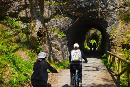
From here, the path runs through the Teverga river valley; the river becomes more confined and the limestone walls surrounding us draw ever closer until, at a certain point, the only option left is to cut through the mountain. The tunnels begin; at first they are short, then gradually get longer. They are always lit and sometimes feature side windows that let in natural light whilst also serving as viewing points over the gorge.
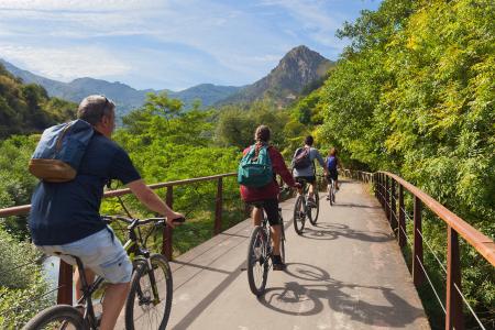
We continue in this way for much of the route until, almost 1 km from the end, the gorge ends abruptly, giving way to the valley and leading us to Entragu. From here, you can optionally continue on to Samartín, just under a kilometre away, and, if you fancy it, visit the nearby Collegiate Church of San Pedro in La Plaza, a fine example of Asturian Romanesque architecture. These are certainly highly recommended visits.
This section of the Senda del Oso can be done as a standalone walk, but bear in mind that there is no public transport for the return journey, so you will need to either walk back the same way or contact one of the active tourism companies operating in the area.
Both the outward journey and the return journey must be planned.