Vegadeo – Boal


- A Veiga/Vegadeo–Boal/Bual
- Distance: 34 kms
- Difficulty: Dura
- Total ascent: 1268 m
- Maximum altitude: 783 m
- Minimum altitude: 3 m
- IBP index: 99
- One-day routes,Links
- Type of bicycle: Road
- Type of route: Linear
- Return by Train: No
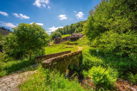
The route begins in the town of A Veiga/Vegadeo, the capital of the municipality, situated on the banks of the Ría del Eo in western Asturias, which forms the border with Galicia. Its historic centre, with the Town Hall Square and Medal Park, forms a charming setting from which to begin the route.
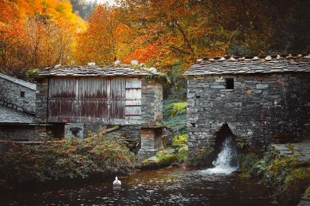
The route begins by following the AS-22 district road towards Piantón, the former capital of the municipality, situated on the banks of the River Suarón. From there, it begins to climb until it reaches the Balmonte junction. At this point, you can either continue the route towards Santa Colomba along the district road, or take the turn-off leading to the Obanza Valley, which is included as an alternative route, featuring fine examples of traditional architecture, mills and a landscape of great beauty. This alternative route has a tarmac surface which, from the hamlet of Castro onwards, becomes almost a gravel track until it joins the district road.
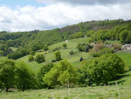
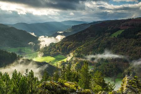
Continuing along the route, you reach the rural hamlets of Rozadas and El Gumio, with more open views over the surrounding valleys and hills, and carry on until you reach the Alto de Penouta (785 m), from where you can already see the wide valley carpeted with pastures and native woodland, home to the council’s capital. From here, all that remains is to descend along the road leading to Boal/Bual, the final destination of the itinerary, where many buildings with unmistakable ‘Indiana’ architecture serve as a reminder of the town’s links with emigration to the Americas.