Strategic Railway Greenway


- Distance: 6 kms
- Difficulty: Very easy
- Total ascent: 55 m
- Maximum altitude: 109 m
- Minimum altitude: 64 m
- IBP index: 2
- Family routes
- Type of bicycle: Gravel,MTB
- Type of route: Circular
- Return by Train: No
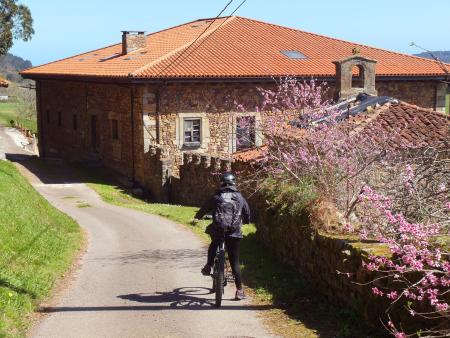
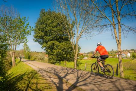
This is an ideal route for children, and even a suitable place for the ‘little ones’ who are getting on a bike for the first time, even if it’s just a tricycle. It consists of two distinct sections: the Vía Verde (for the youngest children) and the quiet local road leading to small villages scattered throughout the valley, along which the Camino de Santiago runs.
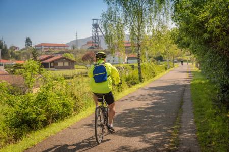
The starting point has been set in the north-eastern part of the route, as it is a suitable place to park; there is no way to reach the route by public transport. Shortly after setting off, a commemorative plaque reminds us that an airfield was situated there during the Civil War. The path is well-maintained, tarmac-surfaced and lined with wooden railings, and features a verge with stretches of trees running alongside the grasslands.
Towards the end of the path, there is a small picnic area with a couple of tables where you can rest, and shortly afterwards you join the local road to begin the return journey.
The road is quiet and offers good visibility; along the way, you’ll often come across pilgrims heading to Santiago, but it’s advisable to keep an eye out for the occasional passing vehicle, especially if you’re travelling with children.
The route continues peacefully, passing through small clusters of houses, before returning to the starting point.
There is no access by public transport
Ideal for children
It’s a good idea to bring water