La Camocha Greenway – River Trail


- Gijón/Xixón
- Distance: 24 kms
- Difficulty: Very easy
- Total ascent: 90 m
- Maximum altitude: 84 m
- Minimum altitude: 2 m
- IBP index: 14
- Family routes
- Type of bicycle: Gravel,MTB
- Type of route: Circular
- Return by Train: No
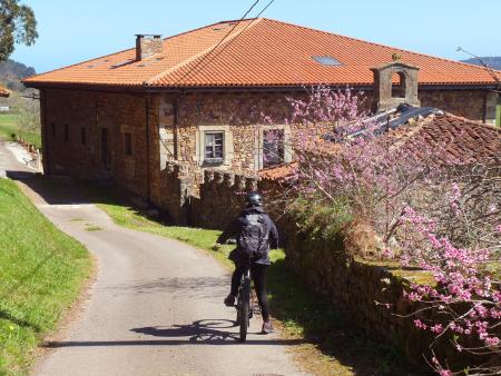
This route starts and ends at the Plaza Mayor in Gijón/Xixón. Making use of the city’s network of cycle lanes, we reach the La Camocha Greenway, which starts at the hamlet of Santa Bárbara (Tremañes), next to the La Braña football ground.
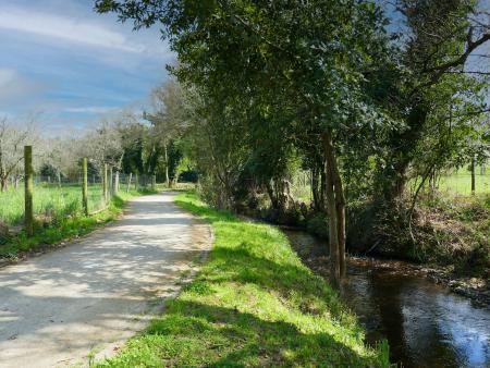
From here, the path descends gently, passing by the Quinta La Torre estate, the stately home of the Marquises of Tremañes. The path continues alongside the Pilón stream, through a stretch of riverside woodland, and crosses a wooden bridge until it reaches La Fana, in the parish of Roces. It passes through an industrial area, which we quickly leave behind to enter a completely rural setting. Trees line much of the path as we make our way to the Palace of the Duchess of Riansares, situated in the midst of a woodland of chestnut, oak, poplar and weeping willow trees, amongst others.
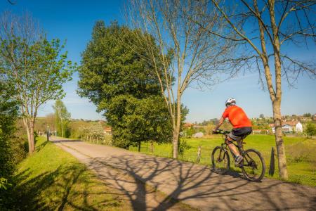
After several crossroads and junctions with roads, we continue to the La Pinganiella spring, situated on the estate of the Marquis of Valero. There is a small recreational area here. We carry on, crossing the La Pedrera stream and passing through a tunnel that runs under the Carbonera Road until we reach the parish of Leorio/Llorio. On our left we see the La Torre estate and, shortly afterwards, at the old railway bridge, there is a rest area with views of the Llantones valley, Picumil and l’Altu La Madera.
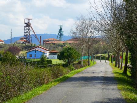
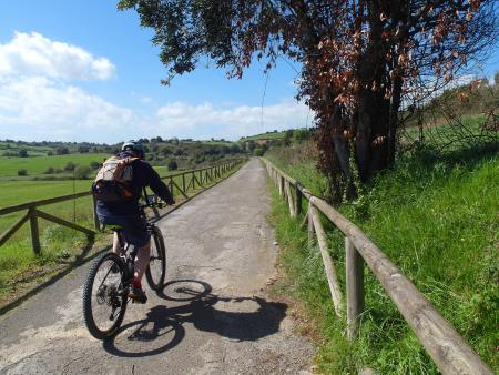
We resume our route and catch sight of the silhouette of the old parish church of Santa María de Leorio/Llorio. We pass under the viaduct of the mining motorway until we enter the parish of Samartín de Güerces via the neighbourhood of Cagüezo. The Greenway ends at the foot of the La Camocha mine, which stands out thanks to the tall headframes of its shafts. From here, we take the Cagüezu path on the left and join the Llantones River trail, which we follow through wide floodplains and riverside woodlands until we reach the Aliseda Pantanosa, which we will skirt along the path that bears its name.
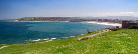
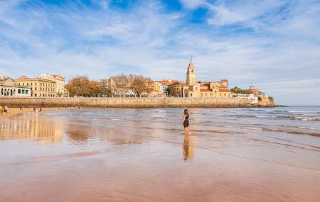
We continue along the Canal del Molín, which joins the Piles River Path at La Carbayera. We follow this path to the mouth of the Piles at San Lorenzo beach. The cycle path runs along the seafront promenade and takes us to the Plaza Mayor, where you can rest and enjoy the surroundings of the Cimavilla neighbourhood, as this is the oldest part of the city, dating back to Roman times, and it also retains the charm of a 19th-century fishing village.