
Redes Natural Park


- Bezanes
- Distance: 37 kms
- Difficulty: Muy Dura
- Total ascent: 2087 m
- Maximum altitude: 1564 m
- Minimum altitude: 625 m
- IBP index: 235
- One-day routes
- Type of route: Circular
- Return by Train: No
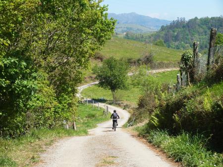
The route begins in Bezanes, the usual starting point for visiting the Brañagallones floodplain; however, in this case the route is taken in the opposite direction, so you will need to head along the AS-117 road towards Belerda, a couple of kilometres away, and from there, take a forest track to begin the ascent to La Collaína.
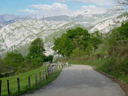
This first section has an average gradient of 15 per cent, making it quite a tough climb; however, as you gain altitude, the views make the effort worthwhile, with the great peaks of the surrounding area gradually coming into view.
The route continues downhill to the village of La Felguerina before beginning the climb up to Collá Vallegu and from there to Collá de La Canalina, which, at 1,564 metres, is the highest point of the route. Once again, the climb is extremely tough, as the average gradient is almost 17 per cent, and, once more, the splendid views will make the effort worthwhile.
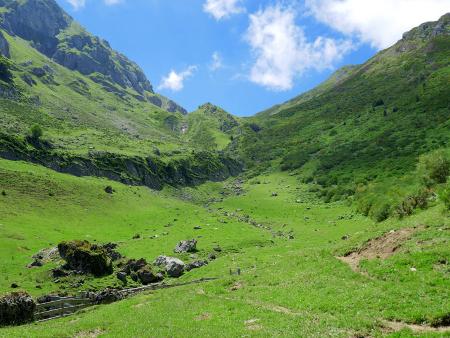
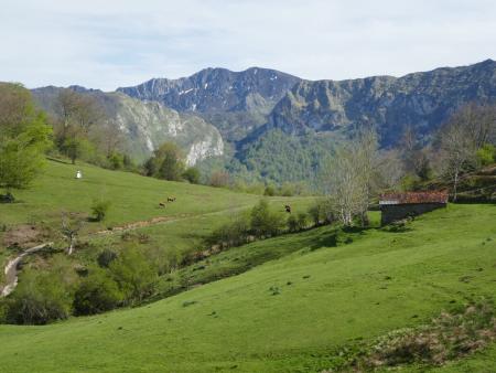
At this point, the landscape changes: the beech forests give way to scrubland that partly covers the surrounding rocky cliffs, and you can now see the Brañagallones valley, as well as the rocky ridge marking the entrance to it. The route continues on a gentle descent to the Mericueria sheepfold and, from here, down to the forest track via a winding path through beech trees, which requires some care due to fallen trees and branches, as well as a few stony sections washed away by rainwater runoff.
Following the track and descending gently through the beech forest, after several kilometres you reach the Brañagallones sheepfold, a place of unique beauty both for its setting and for the sight of its huts scattered across the meadow. The place is certainly worth a short stop to take it all in. From here, it is just a little over 10 kilometres’ descent to Bezanes, although the track holds a few surprises, such as the Crestón pass and a number of vantage points from which to enjoy magnificent views.