Tour of Sariego


- Vega
- Distance: 22 kms
- Difficulty: Medio
- Total ascent: 588 m
- Maximum altitude: 641 m
- Minimum altitude: 270 m
- IBP index: 54
- One-day routes
- Type of bicycle: Gravel
- Type of route: Circular
- Return by Train: No
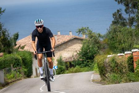
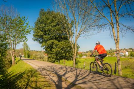
This route offers a mix of road and gravel tracks in an area popular with cyclists, situated within the La Sidra region.
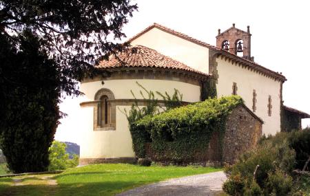
Starting from Vega, the first section follows local roads in good condition, passing through small villages and a notable point of interest: the church of Santa María de Narzana, a late 12th-century Romanesque church rebuilt following a fire in 1936. From here, you reach the La Fumarea pass (600 m), where you take the track that runs the length of the ridge marking the boundary between the municipalities of Sariego and Villaviciosa.
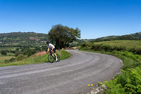
The initial section of the track is in a patchy condition; water has eroded the path, leaving occasional ruts and exposed rock, although after approximately one kilometre the condition improves noticeably. In return, the views are spectacular, stretching from the Ría de Villaviciosa to the Picos de Europa and the Montaña Central. An unbeatable vantage point is the Mirador de Perriellos, which can be reached via a short, signposted detour off the route.
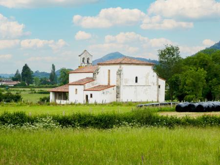
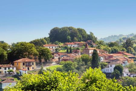
The track ends in the little village of Lluaria, from where you descend along the road to the Alto de La Campa, reaching the valley floor once you arrive at San Román. Continuing on and taking a short detour, you reach the church of Santiago el Mayor, a 10th-century pre-Romanesque church. From here, all that remains is to complete the route to reach Vega.