Santalla–Pousadoiro–Murias


- Santalla
- Distance: 16 kms
- Difficulty: Fácil
- Total ascent: 552 m
- Maximum altitude: 899 m
- Minimum altitude: 527 m
- IBP index: 50
- One-day routes
- Type of bicycle: Road
- Type of route: Circular
- Return by Train: No
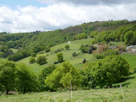
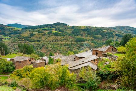
This route is situated in the northern part of the municipality of Santa Eulalia de Oscos, in its highest area, and takes in a number of small rural hamlets, making use of the municipality’s network of local roads and tracks. It stands out for its well-preserved natural environment, where pastures and oak forests alternate with other native species; this, combined with the area’s traditional architecture – characterised by the use of wood and slate – frames the distinctive landscape of Los Oscos.
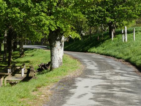
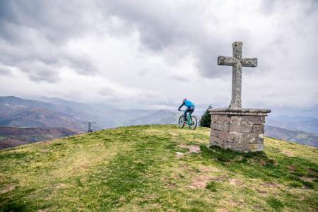
The route sets off from Santalla, climbing steeply at the start up to Carballeira de Millarado, before continuing on to Barcia, passing by the Casa de Aquel Cabo. Continuing along the tarmac track, you can see various ‘Cortines’ or ‘Cortios’ – circular structures made of stone walls built to protect beehives from bears. As you climb, the woodland gives way to grasslands in the ‘chaos’ – high, flat areas – and the landscape opens up, offering a panoramic view of much of Los Oscos from a privileged vantage point.
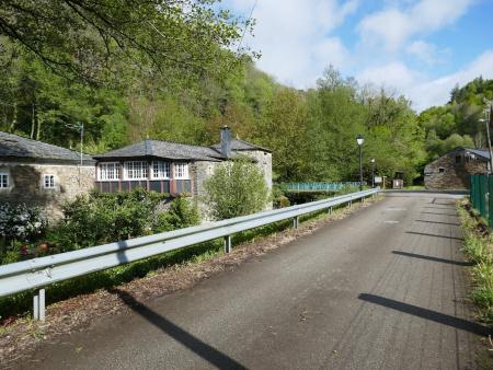
The route continues through small rural hamlets that have preserved much of their traditional architecture, such as Pousadoiro, Murias and Teixeira, before descending to reach Millarado and joining the district road to return to Santalla.