Coal Trails – Upper Nalón


- La Pola Llaviana/Pola de Laviana–El Condao
- Distance: 12 kms
- Difficulty: Very easy
- Total ascent: 46 m
- Maximum altitude: 362 m
- Minimum altitude: 299 m
- IBP index: 9
- Family routes
- Type of bicycle: Gravel,MTB
- Type of route: Circular
- Return by Train: No
Route No. 6, known as ‘Alto Nalón’, is a walk – ideal for families – around the parishes of Entrialgo, Llorío and El Condao.
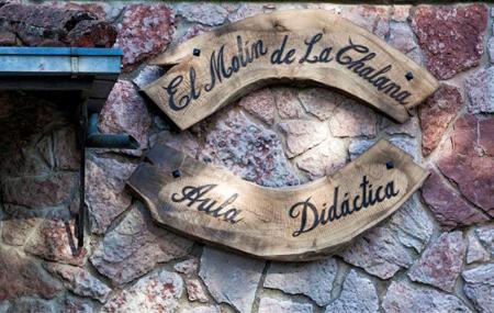
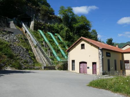
The route begins at the Molín de La Chalana Educational Centre, from where you take a track heading east; after passing under the road, you walk past the La Curuxera Hydroelectric Power Station, a historic facility that has been restored and is currently in operation.
You pass under the road again and, after following the track for about 150 metres, you cross under the road once more to continue along another track that runs parallel to the canal. Take care at a junction near the roundabout leading into the village of Ribota, as the signposting is currently confusing; for safety reasons, you must join the road with caution for about 100 metres before continuing along the designated route, a well-defined path that takes you to the village.
After passing through Ribota, take a stretch of local road that runs alongside the canal, which is now clearly visible, and you reach Llorío. Cross the village and continue along a path that runs parallel to the canal until you reach the weir, and from there to the vicinity of the access point to Soto, from where you reach the village via the local road.
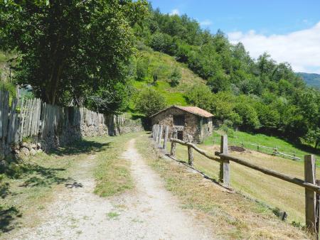
The route continues along tracks and paths until it reaches El Condao, where, before entering the village, it turns westwards to cross a small stream and continue along a track. El Condao is a pretty village well worth a visit before continuing the route. The route continues until it reaches the junction with the local road, where you must take care when joining the road, before continuing on to La Llera, and from there to Llorío, where you rejoin the path you came along to return to Ribota.
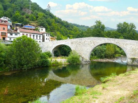
Before reaching Ribota, take the turn-off leading to a tarmac track that passes under the road and continue until you join the local road leading to El Puente d’Arcu, where you’ll find the medieval Romanesque-style bridge that gives the village its name; from there, along a new gravel track beside the River Nalón, you return to the starting point to complete the route.