
Coal Trails. Boroñes

- La Pola Llaviana/Pola de Laviana–El Condao
- Distance: 33 kms
- Difficulty: Muy Dura
- Total ascent: 1069 m
- Maximum altitude: 877 m
- Minimum altitude: 299 m
- IBP index: 102
- One-day routes
- Type of route: Circular
- Return by Train: No
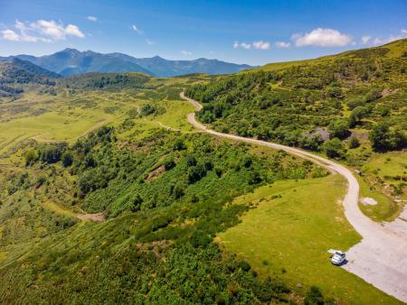
Route No. 7, known as ‘Boroñes’, takes in a lovely walk as it approaches the Sierra de Peñamayor and winds its way through the northern part of the municipality.
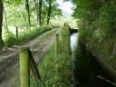
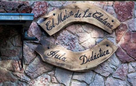
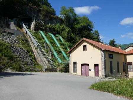
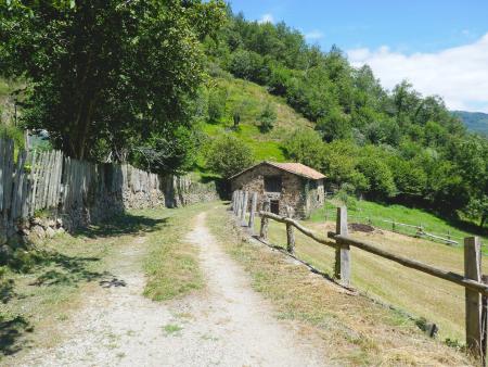
It shares the start and end sections of Route No. 6, ‘Alto Nalón’, so it begins at the Molín de La Chalana Educational Centre and continues largely along footpaths, tracks and local roads, following the course of the canal that feeds the La Curuxera Hydroelectric Power Station, passing through the villages of Ribota, Llorío and Soto before reaching El Condao. From this point, the route begins to climb along the local road until, shortly before reaching the parish cemetery, it turns off onto a track that approaches the end of the Cordal de Peña Mayor and turns towards the village of La Xerra.
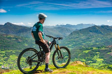
From La Xerra, the route becomes more challenging due to the steep gradient. The route continues along a wide track which you take immediately upon leaving the village, winding its way upwards through meadows and patches of woodland to reach the Cordal pass. At this point, the views are breathtaking, with all the major peaks of the central-eastern region visible.
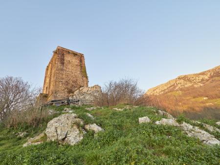
Continuing along the route, you descend to the hamlet of La Robellá and circle the hill of the same name via a path which, after crossing a beautiful beech forest, reaches the Cuetu La Campa pass, situated on the slopes of the Cordal de Peñamayor with its highest peak, Pico Trigueiro (1293 m), in the distance.
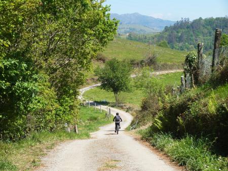
From here, the descent towards El Cordal begins, following a wide track which, at the end of the hill, is left behind to take the path leading to the village of La Ferrera; from there, continuing along the path—which is at times winding and somewhat rugged—you will reach El Condao without any great difficulty.
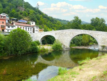
From El Condao, the route continues along the section shared with Route No. 6, passing through La Llera, Llorío and El Puente d’Arcu, before finishing at the starting point next to the La Chalana Bridge.