Alvares River
- Title Corvera de Asturias, Llanera, Avilés Asturias Centre
- Extension Extension: 14 Km. km 2
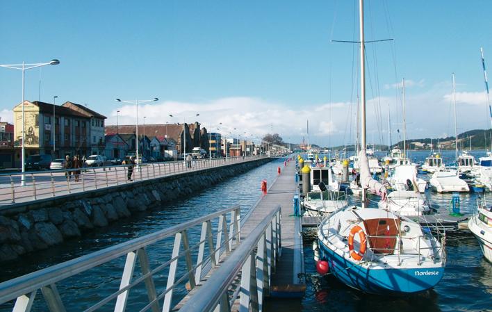
It has its source in Alvares, in the council of Llanera, and after a distance of 14 km, it flows into the Cantabrian Sea, between Punta'l Castillo and San Xuan Beach.
Images
Info
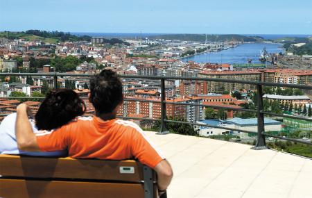
At its mouth it forms the Avilés estuary, which is 7 km long and its most representative tributaries are: the river Raíces, the river Villa, the river l'Escañoriu and the river Tabaza.
It flows through a wide valley, excavated on the Ventaniella fault, with various widenings and undergoes a marked narrowing in the middle of its course, in the Garganta de la Consolación.
Map
Alvares River
GPS: 43.505017,-5.862817
Location
- Source: Alvares (Llanera)
- Source: Between Punta'l Castillo and San Xuan beach.
Some of its tributaries are: the river Raíces, the river Villa, the river l'Escañoriu and the river Tabaza.


