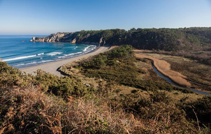
Barayo River
- Title Navia, Valdés Western Asturias
- Extension Extension: 5-10 Km. km 2
It rises in Busmargalí, in the council of Navia, and after a distance of 5-10 km, it flows into the Cantabrian Sea, at Barayo Beach.
Images
Info
The river Barayo, the natural boundary between the councils of Valdés and Navia, forms a spectacular estuary at its mouth, of great natural value and scenic quality.
After the estuary, the river runs through the old marshland, making a sharp turn to the west in its last stretch, forced by the dune ridges of the transplaya. Behind the dunes, the river forms meanders surrounded by reed beds and reed beds.
Map
Barayo River
GPS: 43.559994,-6.617209
Location
- Source: Busmargalí, in the council of Navia.
- Mouth: Barayo beach.
Its tributary is the river 'l Bidular.

