Navia - El Porto/Viavélez
- Address Navia, Coaña and El Franco Western Asturias
- Distance Distance: 21,4 kms
- Difficulty Difficulty: Short
- Code Code: GR204 Coastal Path E9 - Stage 26
- Altitude Altitude: 79 m.
- Unevenness Unevenness: 615 m.
-
On foot
On foot:
7 h. 30 min.
Round trip
- Start point Start point: Navia
- Route type Route type: hiking
- Tour type Tour type: Round trip
- Layout of the route Layout of the route: Download kml
A long route that runs through the municipalities of Navia, Coaña and El Franco. It can be done on foot or by bicycle. In the section from Navia to Castello there are some slopes, but of little difficulty. The 13.5 km from Castello to Porcía can be done without any problem by bicycle. On the climb from the pass, in El Porto/Viavélez, to the viewpoint there is a steep but minimal slope, and the same happens when passing the beaches of Castello, Cambaredo and Pormenande.
Route
Navia - El Porto/Viavélez 21
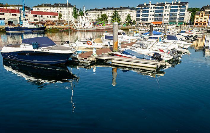
This coastal route begins in the town of Navia, from whose port we cross the bridge and walk along the main road for just over a kilometre, where we take a diversion to the right that takes us towards the coast, leaving the Mohías Palace, also known as Santa Cruz or Cienfuegos-Jovellanos, to one side.
Between meadows and farmland we continue northwards, first passing through Foxos and then in search of the beautiful beach of Arnelles (Coaña), with its long steps, which we walk along from east to west. Once past the beach, we take a path that, heading towards the sea, skirts the cape and leads us to the fishing village of Ortigueira (Coaña), where this coastal route continues, passing through the upper part of the village.
It then heads westwards, passing next to a viewpoint over the cliffs, where a freshwater well that once supplied the inhabitants of this village is still preserved.
Continuing southwards until you reach the Carrileiras meadows, and leaving the Medal neighbourhood behind, you reach the A Figueira cliff, from where you can see the beach of the same name in the background. The beach is reached by a flight of steps with a multitude of steps that are not suitable for people with vertigo.
The steps lead up to a footbridge over a stream with a small but no less attractive flow, as it preserves a leafy riverside forest. On a flat stretch you will find the village of Lloza, with a significant number of residents.
Once past the old schools and the chapel, the path leads to the Torbas cove and the beach of the same name, where you can rest at one of the viewpoints nearby.
The path then winds its way through the small coastal shallows of Salias and Acibús to reach a new beach area called D'Armazá. We must climb a little to reach San Cristóbal, leave the Castello district to the left and approach Castello beach, and then Cambaredo beach.
On this beach you can enjoy a splendid rest area and a viewpoint over the Cantabrian Sea. A monolithic landmark, called "Window open to the horizon", by the sculptor Ernesto Knorr, is sure to leave more than one person speechless.
Returning to the route, with the certainty that we are nearing the end of this journey, the path crosses another mini coastal plain known as A Senra, and arrives at Pormenande beach, frequented by the inhabitants of the village of A Caridá.
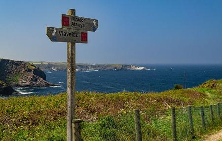
Then, ascending through an area of native woodland, we can already see La Atalaya, where we find the old schools, with a children's playground, and the fishermen's warehouses.
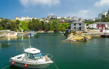
The route ends in the village of El Porto/Viavélez, after about 14 km, where you can enjoy the view of its romantic fishing port.
Map
Itinerary
Navia - Foxos - Beach of Arnielles - Ortiguera - Carrileiras - Loza - Beach of Torbas - Castello - El Porto/Viavélez


