
Oneta Waterfalls Route
- Villayón Western Asturias
- Distance: 1,5 kms
- Difficulty: Short
- Code: SL5
- Altitude: 325 m.
- Unevenness: 103 m.
-
On foot:
1 h.
Round trip
- Start point: Oneta
- Tour type: Round trip
- Layout of the route: Download kml, Download gpx
Info
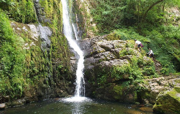
Water, the source of life, attracts our attention, attracts us, and even more so when, due to the weather or the orography, it shows us all its strength and power and turns into beauty. This is what the waterfalls of Oneta show us, at least two of the three existing ones.
From the village of Oneta, and in a very short walk through meadows, we reach the upper part of the first one, where the river has excavated a channel in the rock into which it flows until it reaches the edge of the cliff, where it plunges down.
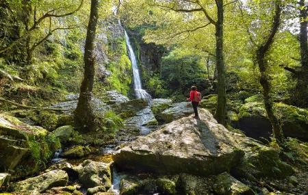
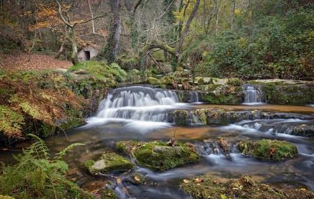
A short detour takes us to the tail, some twenty metres high, white, thundering, beautiful, in the middle of the forest. A little further down, an old mill. We continue walking and arrive at the second, even more secluded if possible, a little more open, tucked in between more vegetation and equally beautiful. In between, a walk through the interior of the forest, where in spring the different daffodils that fill the walk with yellow stand out.
Route
Oneta - Oneta Waterfalls 3
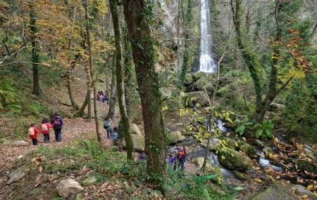
The route begins in the village of Oneta, specifically at its southwest end. It is a walk that takes us to the waterfalls of the same name, located 1,500 metres from the village.
After the first 700 metres, you will come to a fork, where you should take the path to the left. After approximately 1.2 kilometres, turn off to the left a few metres along the path to see the first waterfall; then retrace your steps and continue along the route.
About 300 metres further on, after a zigzagging path through the forest, we finally reach the last waterfall of Oneta, which marks the end of our route.