Route from Lamuño to La Concha de Artedo
- Address Cudillero Western Asturias
- Distance Distance: 10,4 kms
- Difficulty Difficulty: Short
- Altitude Altitude: 172 m.
- Unevenness Unevenness: 177 m.
- On foot On foot: 3 h. 15 min.
- Start point Start point: Lamuño
- Route type Route type: Hiking
- Tour type Tour type: Circular
- Layout of the route Layout of the route: Download kml, Download gpx
Declared a Blue Trail.
Info
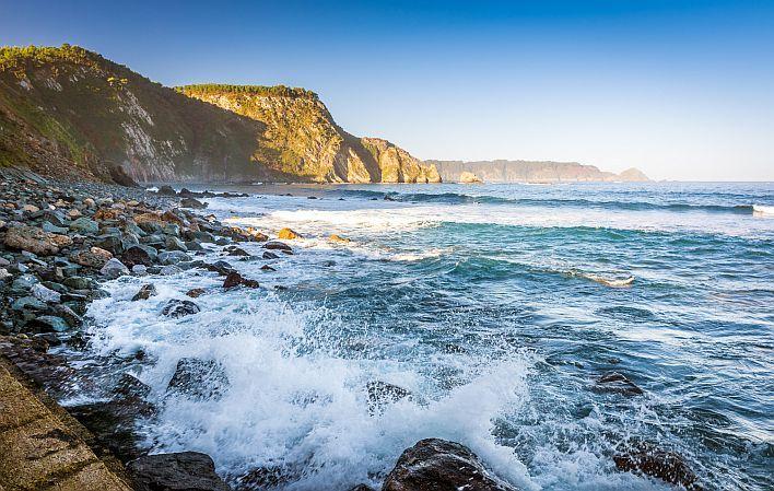
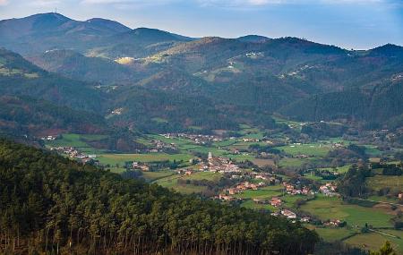
Tranquillity is what this route transmits to us from the very moment we start, in the square of Lamuño. It is a sea and mountain route, but with no major gradients, which runs between the steep coast of Cudillero and the Luiñas valley: one look at the sea and the other at the mountain area of the municipality.
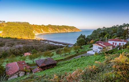
We can enjoy the large recreational area in the pine forest, the walk among oak and chestnut trees, the views of the cliffs, the village of Artedo, or the village of San Martín de Luiña, where the vaqueiros de alzada (transhumant shepherds, who moved in summer to the brañas with their cattle) were relegated to the back of the church during mass, as an inscription on the floor of the church testifies.
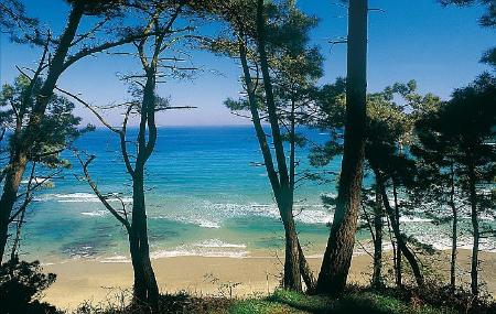
But, without a doubt, the jewels of the route are the beautiful rocky beach of Oleiros and the beach of La Concha de Artedo, with its lagoon behind it, whose water flows through the stones that form it to come out into the sea. The marshy marshland that the route crosses along a wooden walkway at the back of this beach is its main natural asset.
Route
Lamuño - La Concha de Artedo Beach - Lamuño 10,3
It starts in the village square of Lamuño. We leave the square by taking the asphalted road that leaves the coast to our right and soon becomes a path. After the first 300 metres, the path forks, and we choose the left-hand branch.
Another 300 metres further on, we enter the pine forest of Monte Valsera, with a fully equipped recreational area; we turn right. When we reach the kilometre from the start of the route, we come to a fork; at this point we opt for the right-hand branch to be able to visit Oleiros beach. Once we have visited the beach, we shall return along the path to this same junction and now follow the left-hand branch.
Do not pay attention to the crossroads that appear further on.
After about 3 kilometres, we reach the CU-6 road and the centre of La Tejera; we walk a few metres along this road and a few metres further on we turn right and at the next crossroads turn left. After 400 metres from these crossings, cross the A-8 motorway over an elevated bridge and continue along a path through pine trees.
At approximately kilometre 4.4, we must turn onto the path on the right, and further on to the left, which coincides with the Pilgrims' Way to Santiago and passes through the upper part of the village of Mumayor. After another 2 kilometres, we cross the Abango stream and the path takes us back to the A-8 motorway, which we cross underneath at kilometre 8.
600 metres from the previous point, kilometre 8.6, we turn left onto the path, along which we will soon reach the Debesa stream. This path takes us directly to the Concha de Artedo beach, which is 600 metres long.
In the final stage of the route, at kilometre 9.2, we take a track between the houses on the beach, which leave it on the right hand side, and follow it until we reach the village of Lamuño.
We highly recommend stopping to see the Ermita del Rosario (Rosary Chapel) and the Chapel of La China, the latter dating from the 18th century, founded by an Indiano and owned by a private individual. Its name is believed to be due to an image of a Virgin and Child with oriental features (of Filipino origin, supposedly) that was rescued from a shipwreck that came from there.


