Olloniego to Soto de Rey Route

- Olloniego/Lluniego, Soto Rei / Soto de Rey Central Asturias
- Distance: 9.19 kms
- Difficulty: Easy
- Cumulative difference in altitude: +62 m
- Cumulative difference in altitude: --62 m
- Maximum altitude: 159.47 m
- Minimum altitude: 127.18 m
- IBP index: 25
- Modality: Families
- Type of route: Round trip
- Route type: Mountain
- Return by Train: No
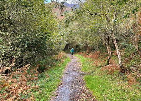
The river is the main axis around which this route revolves, ideal for both walkers and cyclists, where we will witness the amazing biodiversity of this natural environment.
The route of this simple and beautiful river walk that connects Olloniego/Lluniego, in Oviedo, with Soto Rei / Soto de Rey, belonging to the council of Ribera de Arriba, is suitable for both walkers and cyclists, as it forms part of the Central Mountain Cycle Ring.
The route starts in the Olloniego/Lluniego industrial estate, from where the path runs parallel to the Autovía de la Plata, in an area known as Cuesta Fumea. Step by step, the route invites us to leave behind the industrial environment to enter a landscape where the river Nalón is the true protagonist.
After walking approximately one kilometre, the path crosses the Autovía de la Plata motorway to get closer to the riverbed. Here, the riverside vegetation, with alders, maples and poplars, stabilises the course of the water, creating a natural environment ideal for wildlife. On this stretch it is easy to spot mallards, coots and coots swimming or hiding among the reed beds.
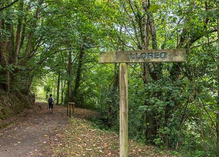
Half a kilometre further on, a bridge will allow us to cross the railway tracks, and just 300 metres further on we will reach the Navalones area, a point of interest for climbing enthusiasts who have two climbing schools in the area: the Navalones school itself and the Manzaneda school, located above Olloniego/Lluniego.
This is the narrowest point on the route, where the river has excavated the limestone rock to make its way through.
Continuing along the path, 2 kilometres after starting the route, we will cross the railway tracks again, and 800 metres later, we will cross the Autovía de la Plata again. After this crossing, the path takes us to a road that will guide us towards Vegalencia.
At kilometre 3.4, we reach Vegalencia. From here, the path continues parallel to the Nalón. We shall come across several bridges and, at kilometre 4.2, we shall cross a wooden bridge to continue straight on. Finally, at kilometre 5, we reach the town of Soto Rei / Soto de Rey, where the route ends and where, before returning, we can stop to look at the Soto Ribera thermal power station.
PR240
Basic tips before going into the mountains
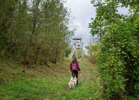
- If you go with a dog, always keep it on a leash.
- Avoid approaching livestock.
- If you find mastiffs protecting livestock, do not approach them, do not pet them and do not feed them. Do not allow them to follow you or stray from their herd. They are working.
- Don't leave a trail. Collect all your waste, including organic waste. Nature is not a dumping ground.
- Act with prudence. Plan your route well, take everything you need and make sure it is adapted to your physical capacity.